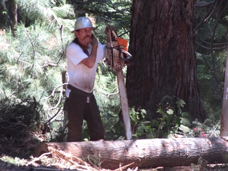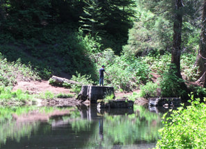
"The Mountain Home Tract Forest in Tulare County shall be developed and maintained . . . as a multiple-use forest, primarily for public hunting, fishing, and recreation." State of California Public Resources Code, Section 4658
|
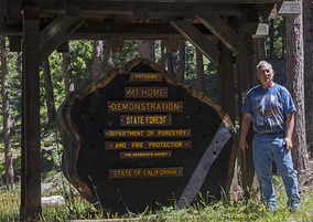
MOUNTAIN HOME DEMONSTRATION STATE FOREST
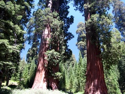
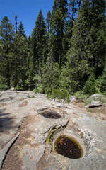
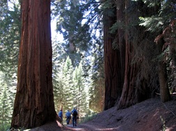
Environment: Mountains, mixed-conifer forest, giant sequoias, 4807 acres, 4800'-7600' elevation
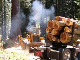
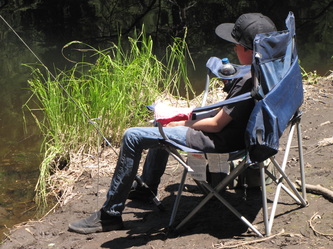
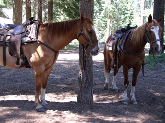
Activities: archaeological sites, backpacking, birding, camping (fee*), dog walking (under owner's restricted control or on 6' leash; scoop poop), fishing, hiking, historical sites, horseback riding, hunting, pack station, photography, picnicking, rock climbing, scenic drives, viewing logging operations, wildlife viewing *NOTE: Camping fee (2013) is $15/night (includes registration and one vehicle); $5/night for 1 additional vehicle (e.g., travel or utility trailer, car, etc.); limit 2 vehicles/site; overflow parking available at Shake Camp and Frasier Mill; self-register prior to camping; reservations required for Methuselah Group Camp and for handicapped-accessible site at Frasier Mill. Other campgrounds are first come, first served. Campsites open May through October, depending on snow conditions. Site Steward: California Department of Forestry and Fire Protection (CAL FIRE); 559-539-2321 summer, 559-539-2855 winter (leave message for call-back within 24-48 hours) Open:Daily, weather permitting Links: CA Department of Parks & Rec; Mountain Home Guard Station; CDF Historical Society and Museum; What we do Books: 1) A Guide to the Sequoia Groves of California by Dwight Willard (Yosemite Association, 2000) 2) The History of A Giant Sequoia Forest: the Story of Mountain Home Demonstration State Forest by Floyd L. Otter and David Dulitz, 2007 (see Save the Redwoods League - Mountain Home Demonstration State Forest) 3) The Men of Mammoth Forest: A Hundred-year History of a Sequoia Forest and its People in Tulare County, California by Floyd L. Otter, 1963 (see Save the Redwoods League - Mountain Home Demonstration State Forest) 4) King Sequoia: The Tree That Inspired a Nation, Created Our National Park System, and Changed the Way We Think about Nature by William C. Tweed (Heyday, 2016) Directions: See map and directions at bottom of page. |
|
|
Directions: Address: Latitude/Longitude: 36-14'24'' N/Longitude: 118-40'20'' W 36.2399453/Longitude: -118.6723141 From Porterville (A) follow CA-190 E through Springville. Turn left onto Balch Park Dr/J-37. Turn right onto Bear Creek Rd and follow it into the mountains and the Demonstration State Forest. For a loop trip, leave the State Forest via Balch Park Rd, heading NW. Turn left (SW) onto Balch Park Dr, then left again onto Balch Park Dr/J37 back to Springville and Hwy 190 W to Porterville. The following link has additional driving information: http://climber.org/driving/mtnhome.html |
