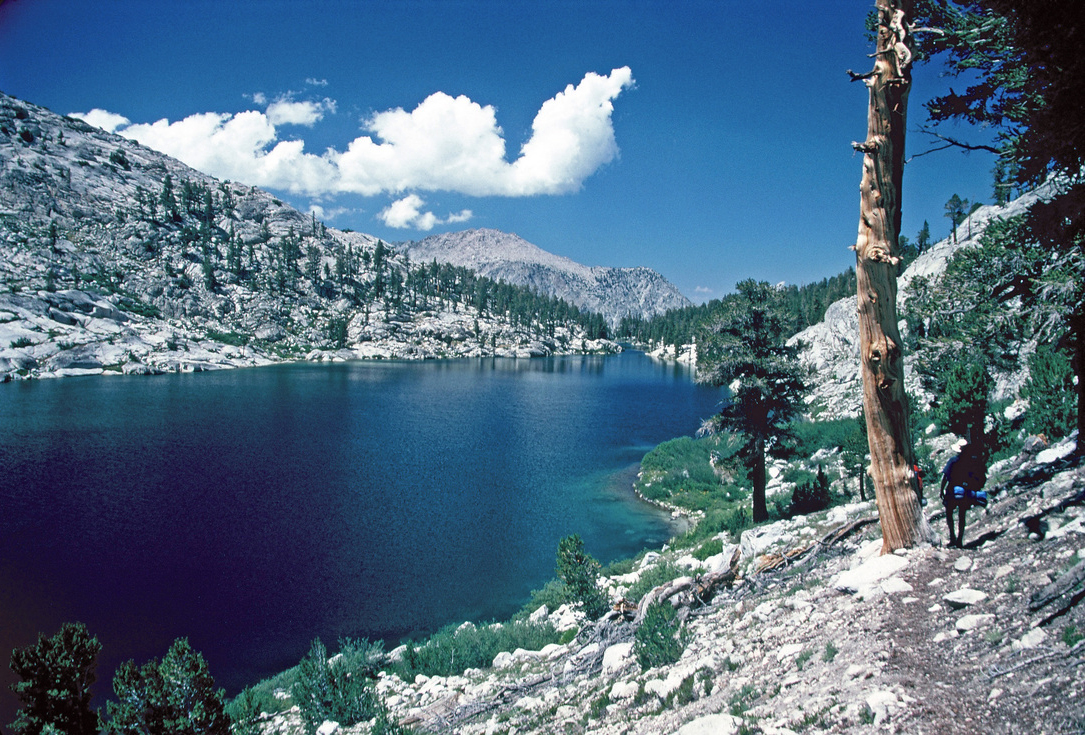
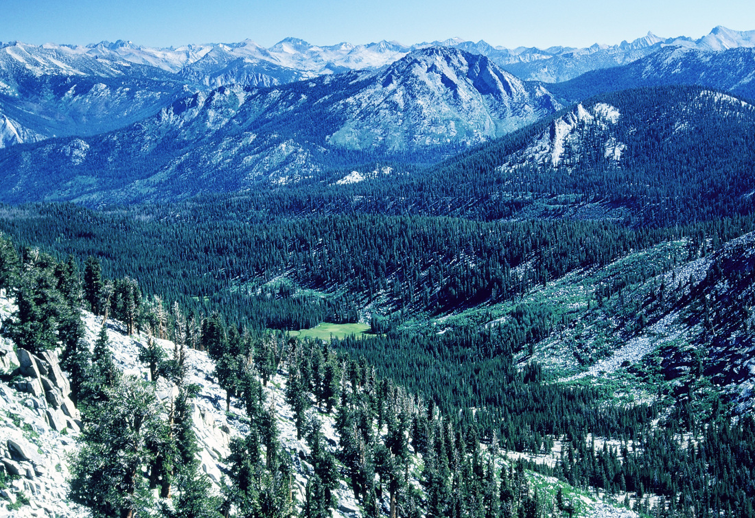
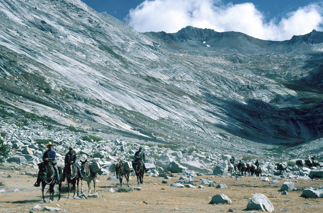
Click on photo for more information.

Visiting Kings River Park

by Laurie Schwaller

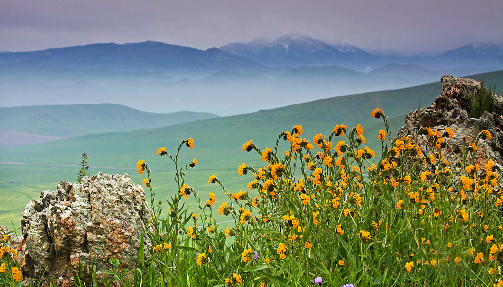
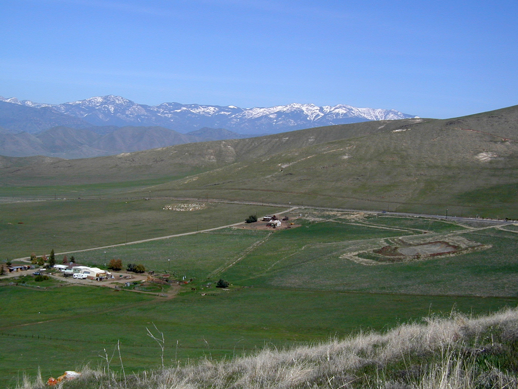
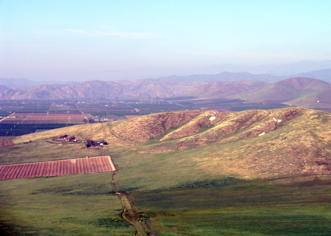
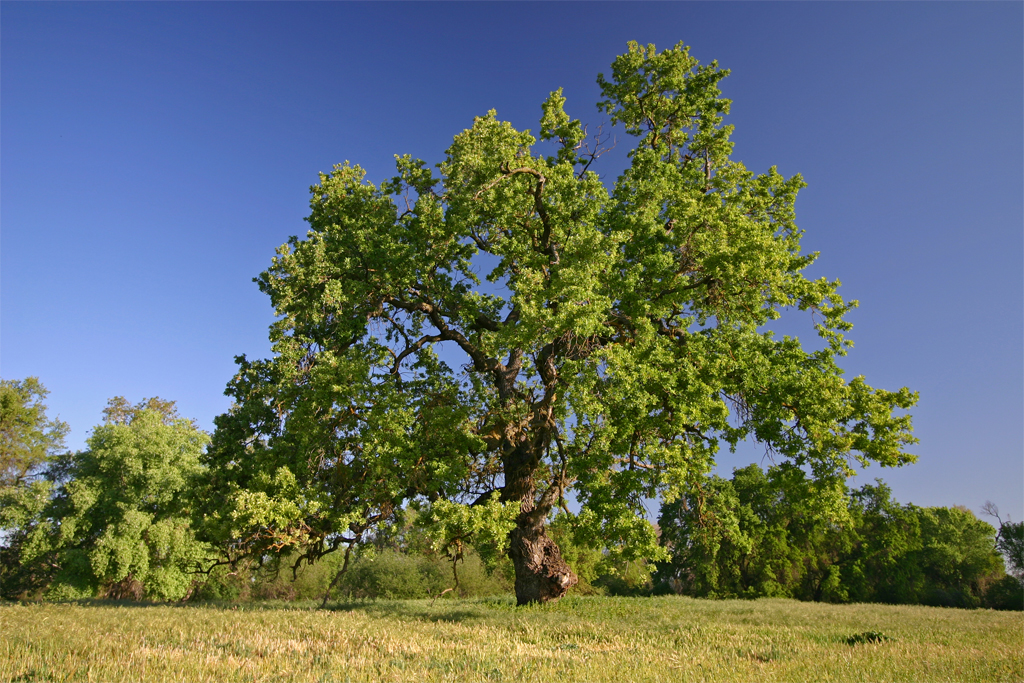
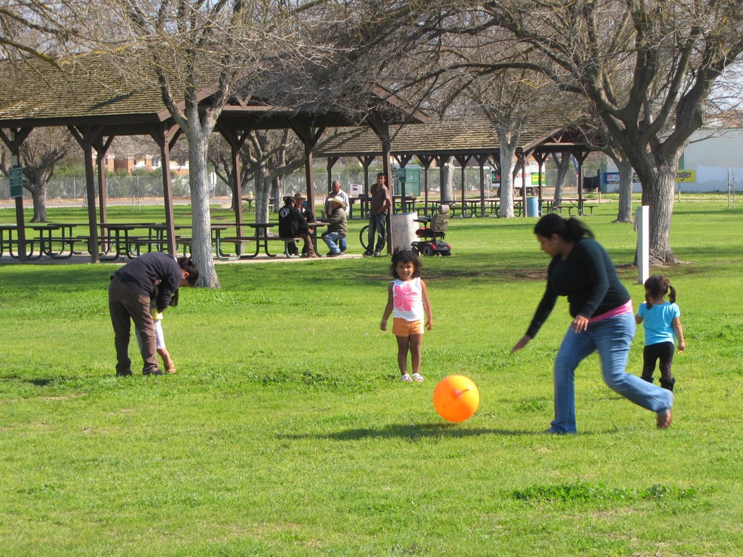
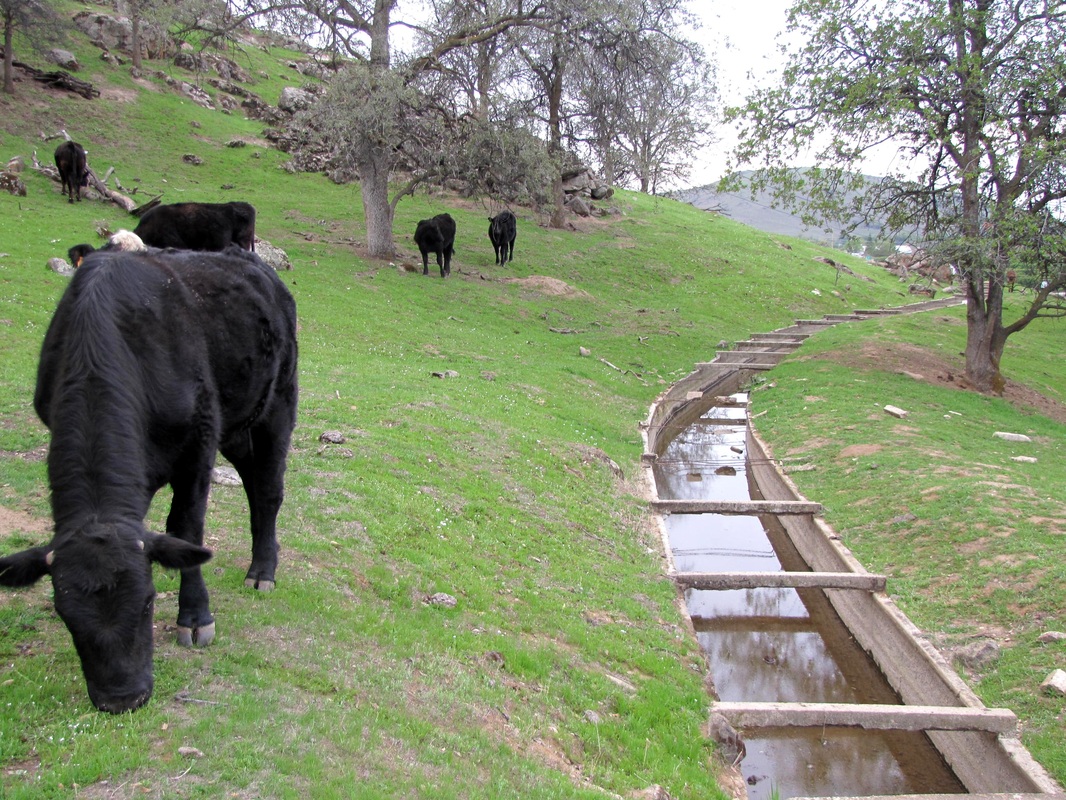
     Tulare County’s eighty-six acre Kings River Park is our only park that borders the Kings River and that allows hunting (for doves only, Parks tickets required). It also has a challenging 18-hole disc golf course, an arbor, a restroom, and grass-mowing cattle, but no maintained trails. River access is difficult, but there’s fishing (license required). The County’s 1971 proposed Master Plan for this park included a campground; children’s play areas; picnic tables; arbors; fire, horseshoe, and BBQ pits; a boat ramp; and a caretaker’s residence.  Meanwhile, the park’s gate is locked.  Contact County Parks for passes, hunting tickets, and fees.

November, 2025


NOTE:  The Project Team will be conducting research for a full article page as volunteer time allows.  Contact Us if you’d like to help research, write about, and/or illustrate this Treasure!


Maps & Directions:


From Visalia, take Hwy 99 north toward Kingsburg.

Exit right onto Ave. 384 (signed for Rest Area) and go right (south) at the T intersection.

Go past the gas station and motel and as the road turns left, take the first left you come to, onto Road 28.

Follow Road 28 north until it dead ends at the gate to Kings River Park.


Site Details & Activities:

Environment:  Valley, 86.4 acres, open pastoral landscape, cattle grazing, bordering the Kings River, scattered trees, 18-hole disc golf course, arbor, restroom
Activities:  birding, botanizing, disc golf, dove hunting (ticket required; contact County Parks), fishing (license required), hiking, photography, wildflower and wildlife viewing (seasonal)
Open:  The park gate is locked. Contact County Parks to obtain a pass.  The land beyond the park fence is private.  No trespassing, please. County Parks are closed on Tuesdays and Wednesdays and on national holidays.  Open Hours are seasonal; check Tulare County Parks website (see below) for hours.
Kings River Park Fees (in 2025; check County Parks for current fees):
Dove Hunting (per permit, Maximum 20 hunters per day) $5
Arbor #1 (Small) $50
Disc Golf Course (Please note that additional fees are assessed for tournaments based on amenities in the area of the tournament route) $100
Reserve Entire Park Base Fee $150
Site Steward:  Tulare County Parks, 559-205-1100
Opportunities for Involvement:  donate
Links:


Click on photos for more information.

Visiting the John Krebs Wilderness

by Laurie Schwaller

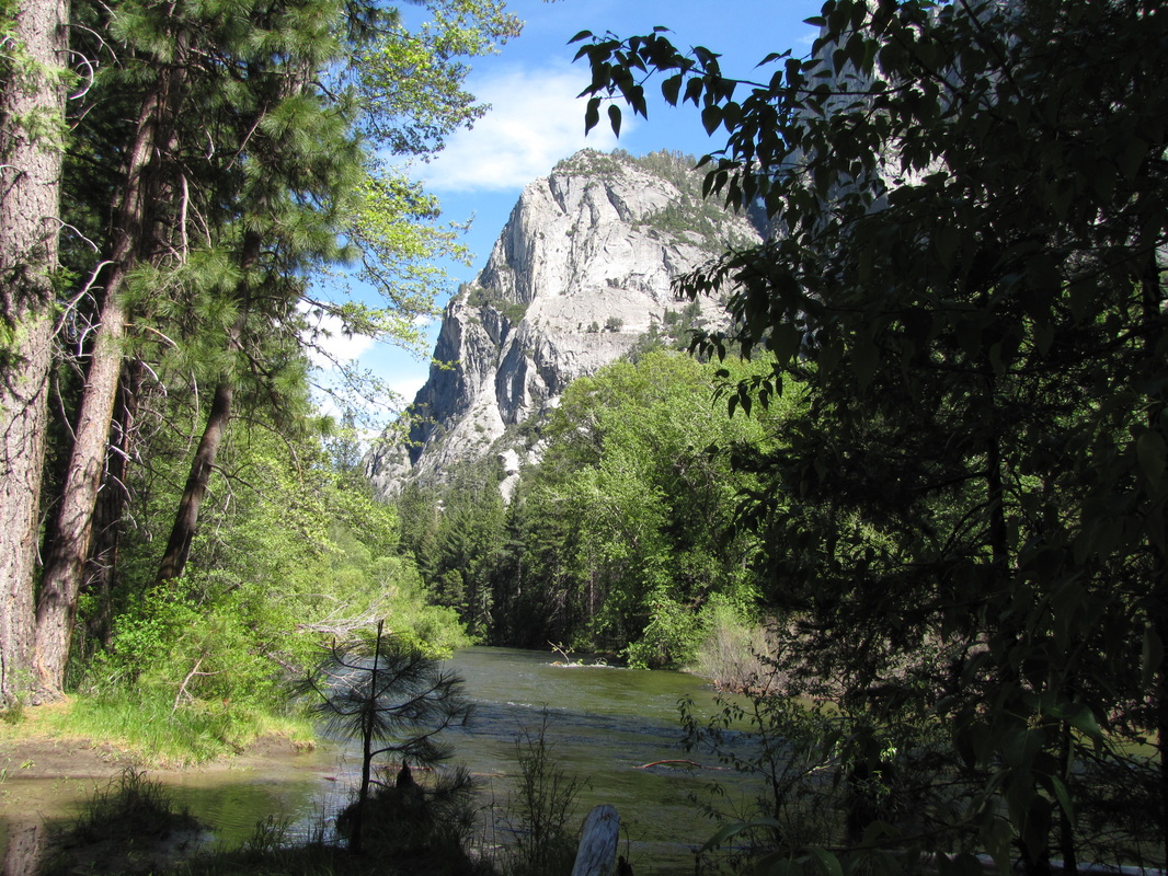
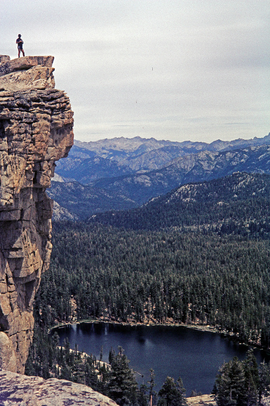
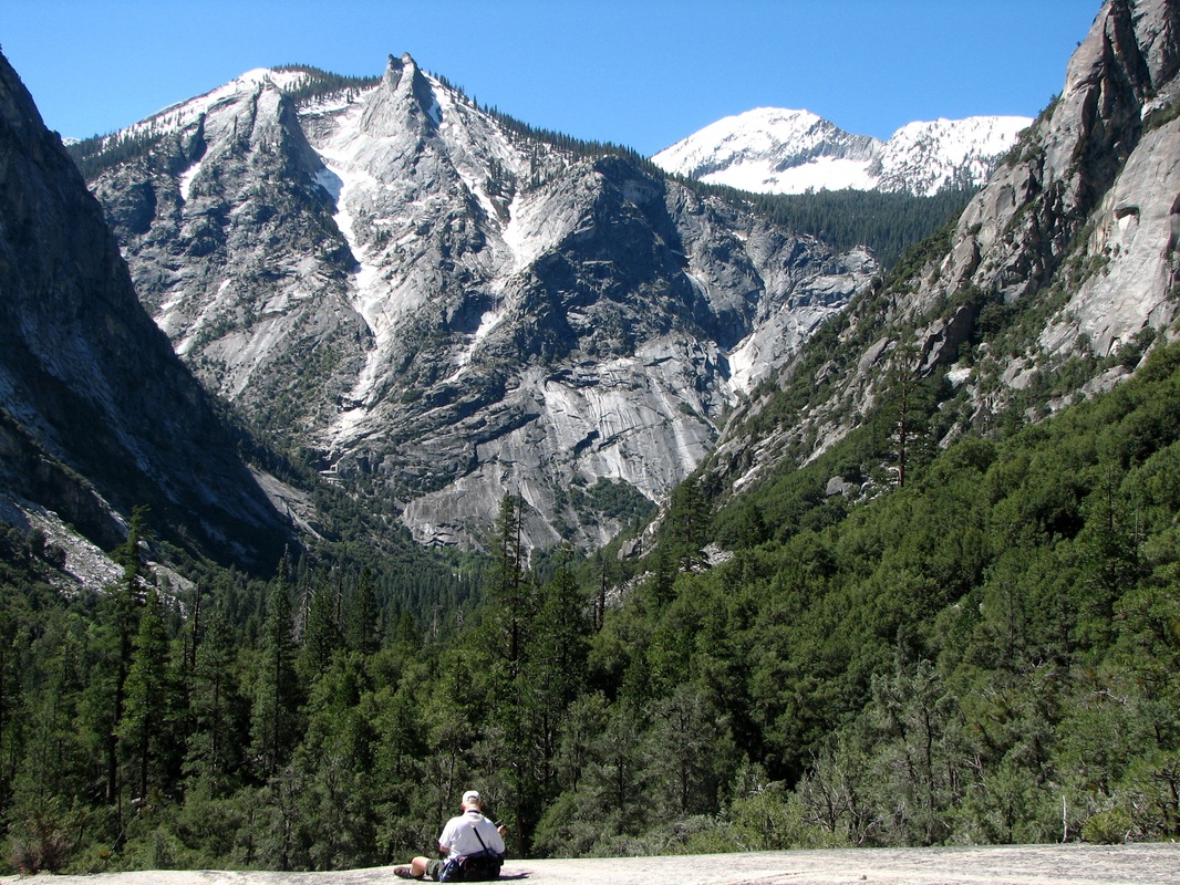
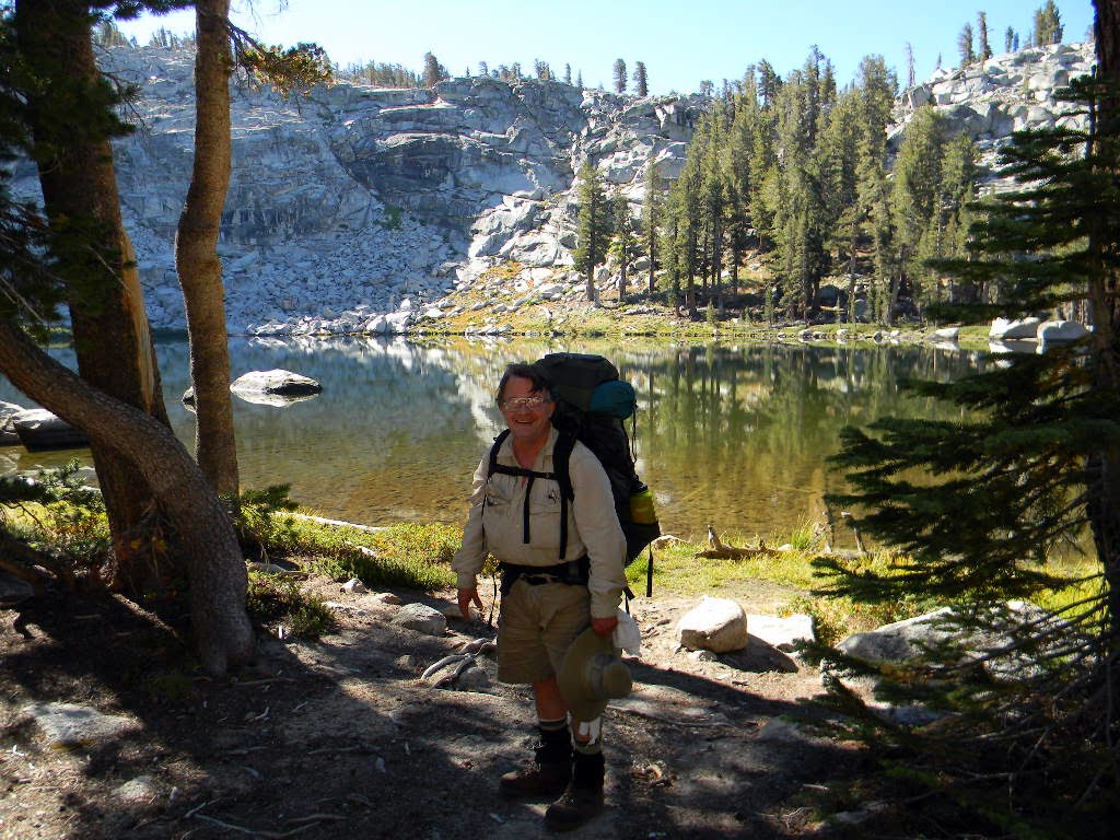
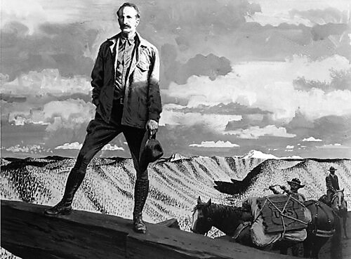
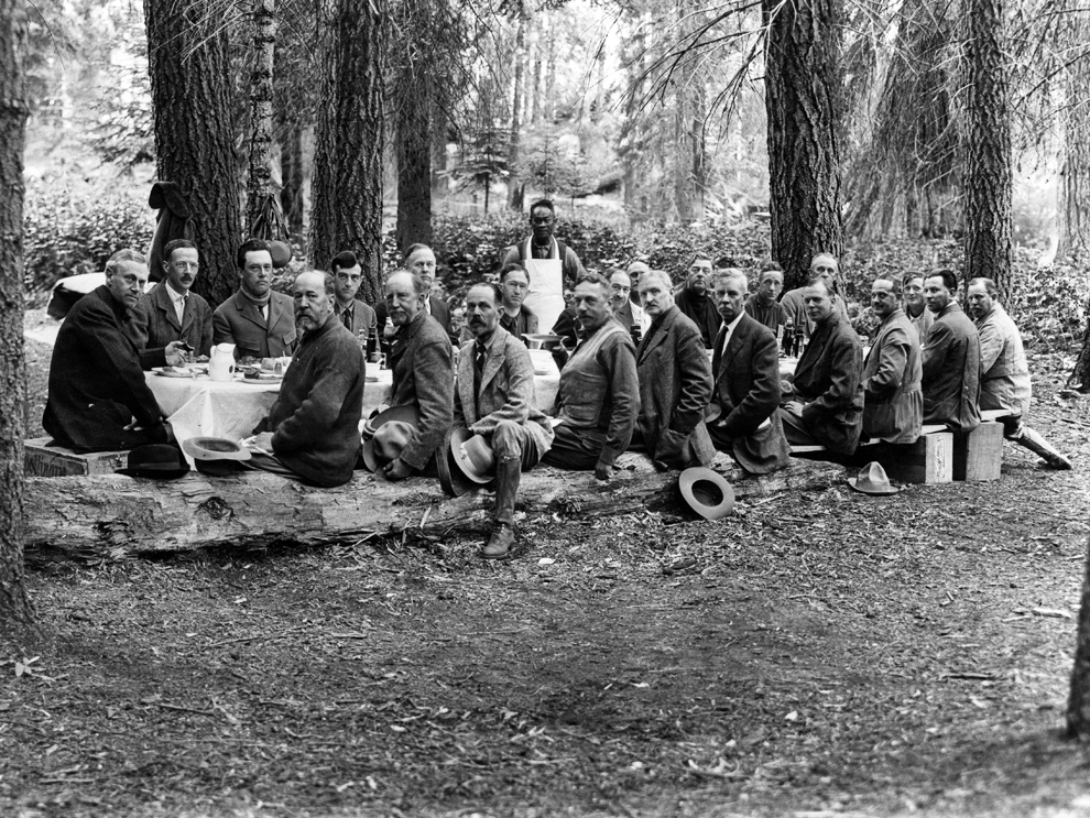
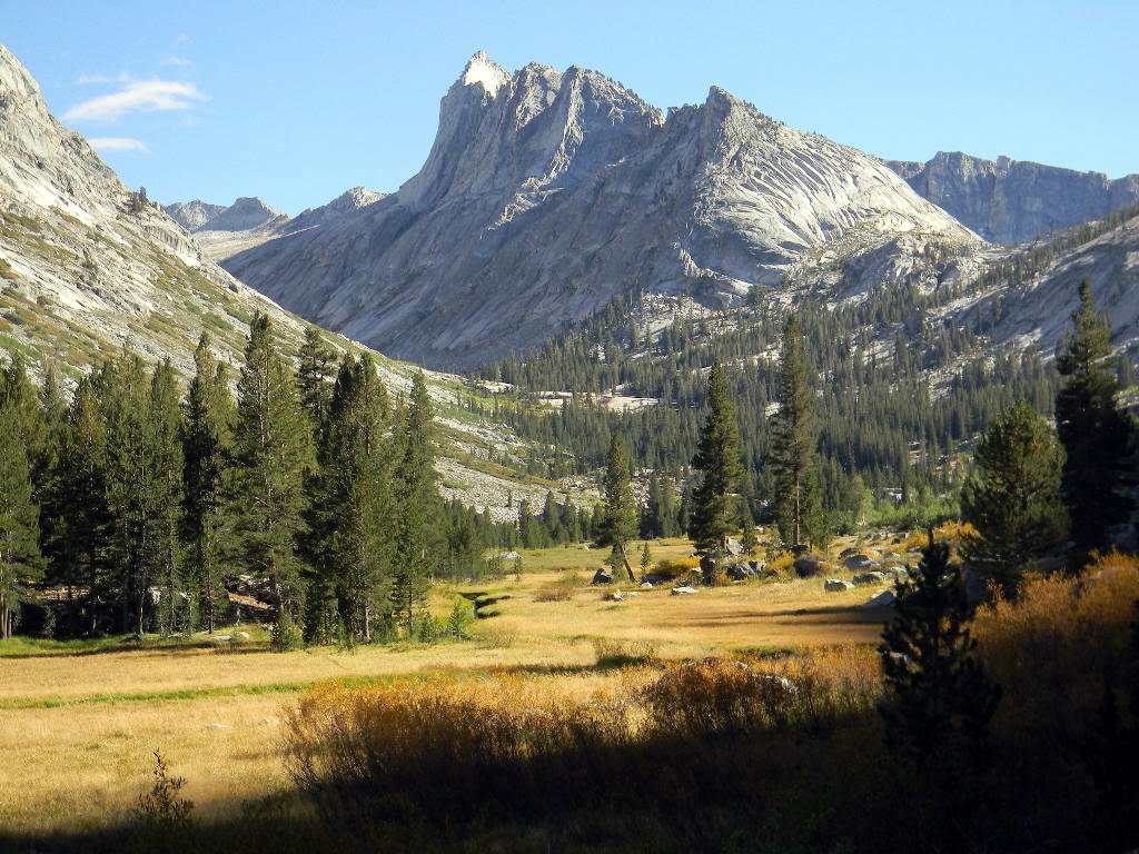
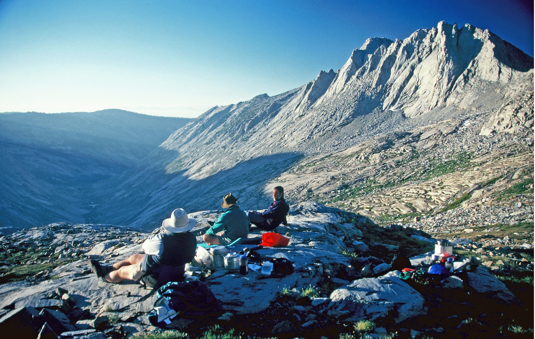
     Sequoia National Park’s 39,740 acre John Krebs Wilderness abounds with spectacular scenery, high peaks and passes, sparkling lakes and rushing streams, forests of aspen and conifers, giant sequoia groves, glorious skies both night and day, wonderfully diverse wildlife and wildflowers, challenging trails, and a roller-coaster history including the U.S. Cavalry, vagrant sheep, silver mines, cabin owners, a game refuge, recreationists, lumber and power companies, Walt Disney, environmentalists, a landmark Supreme Court case, and an arduous journey to becoming part of Sequoia National Park and a designated Wilderness. Two campgrounds and pie are nearby!

November, 2025

NOTE: The Project Team will be conducting research for a full article as volunteer time allows.  Contact us if you’d like to help research, write about, and/or illustrate this Treasure!  

John Krebs Wilderness

Maps & Directions:

From Visalia, go east on Hwy 198 through most of Three Rivers to the marked turn-off to the right onto Mineral King Road and follow that narrow, steep, winding road up to your trailhead. (Stay left on Mineral King Road at the junction with Hammond Rd. ) RVs and trailers are not recommended on Mineral King Rd. Drive cautiously and yield to oncoming traffic.

About 12-13 miles up Mineral King Rd. there is a National Park Service self-service fee station at Lookout Point.

There are trailheads at Atwell Mill, Cold Springs Campground, and road’s end in Mineral King. Wilderness Permit required for overnight visits in the Wilderness.

NOTE: Mineral King Road is closed below Lookout Point in winter. The road is open all the way to Mineral King Valley usually from about Memorial Day to mid-October, depending on weather. For road status and advisories, call 559-563-3341, then press 1, 1, 1.

NPS Advisory: Secure your vehicle from invasive, wire-chewing marmots by driving over a tarp and then wrapping it around your entire vehicle; cover the wheel wells. Don’t wrap with chicken wire, as marmots have learned to get around the wire. Plan your visit for Marmots


Site Details & Activities:

Environment: mostly steep; Foothills, Mountains, National Park, Wilderness, historical and cultural landscape; oak-dotted foothills, dense chaparral, riparian areas along perennial streams and the South and East forks of the Kaweah River, big canyons, six giant sequoia groves, aspen groves, extensive coniferous forests, big meadows, about 20 lakes, many peaks – some over 12,000′, sensational views from all trails (and off), abundant wildlife, highly diverse plant life, marvelous night skies, wonderfully accessible wilderness
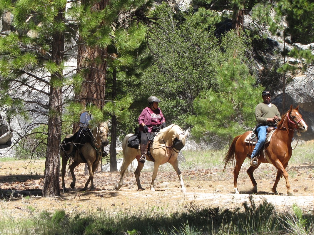
Activities: backpacking, birding, botanizing, camping, caving, hiking, history/historical sites, horseback riding and packing, fishing (license required), mountaineering, photography, rock climbing, stargazing, wildflower and wildlife viewing (no mechanized/motorized equipment and no pets allowed in Wilderness)
Open: Sequoia and Kings Canyon National Parks are always open, weather permitting , except in emergency conditions; park entrance fee; Wilderness Permit required for overnight visits; quotas apply on many trails, generally late May through late September, with Recreation fee required for entry during quota season; reservations may be made 6 months to 1 week before entry date; campfire permits may be required (NOTE that campfires are not permitted in some areas), maximum group sizes (including stock) apply.
Site Steward: National Park Service, Sequoia and Kings Canyon National Parks, 559-565-3341; Wilderness Office, 559-565-3766
Opportunities for Involvement: donate, volunteer, Sequoia Parks Conservancy
Atwell Mill Campground
Books: 1) Challenge of the Big Trees -The History of Sequoia and Kings Canyon National Parks, rev. edition, by William C. Tweed and Lary M. Dilsaver (University of Virginia Press, 2017)
2) Granite Pathways: A History of the Wilderness Trail System of Sequoia and Kings Canyon National Parks, by William C. Tweed (Sequoia Parks Conservancy, 2021)


Click on photos for more information.

Visiting Jennie Lakes Wilderness

by Laurie Schwaller

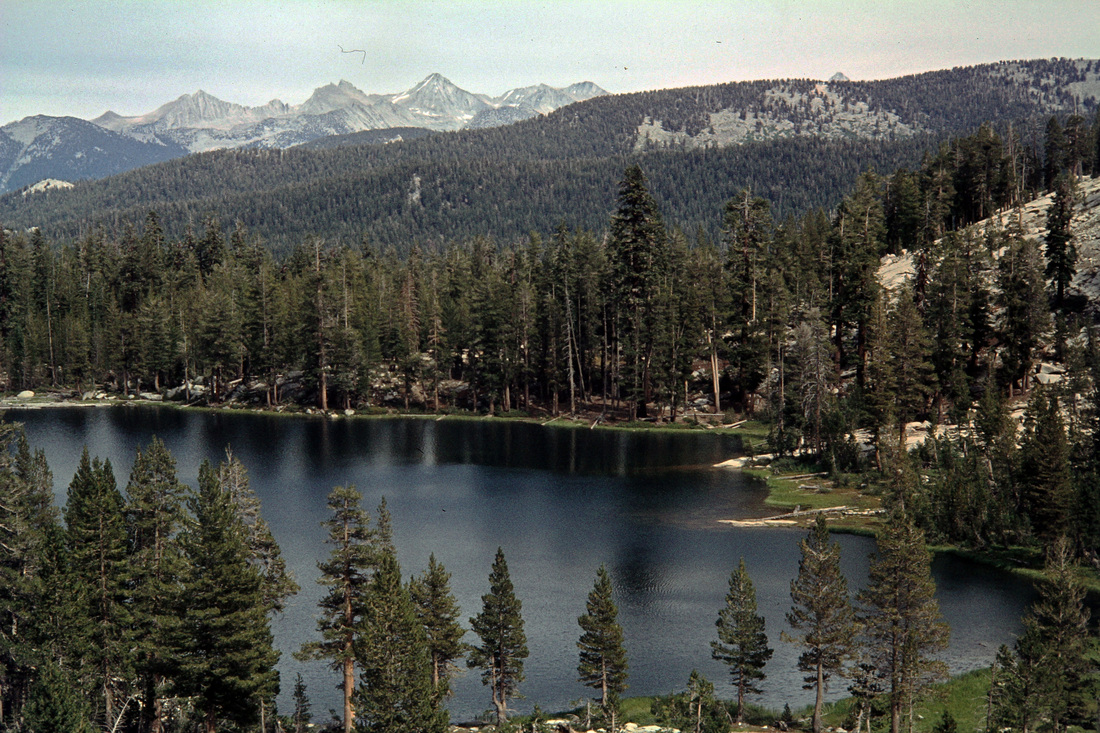
     Readily accessible from four trailheads, Sequoia National Forest’s 10,500 acre Jennie Lakes Wilderness offers 26 miles of hiking trails, beautiful lakes (Jennie and Weaver are the largest), perennial streams, lovely meadows, extensive coniferous forests, rocky peaks (especially 10,365′ Mitchell Peak) affording great views, beckoning spring wildflowers, watchable wildlife, and trail access to Sequoia and Kings Canyon National Parks’ backcountry (Wilderness permit required for travel into the Parks).  Jennie Lakes Wilderness lies almost entirely above 7,000′, so it’s refreshingly cool in summer; winter access is limited by road closures and its steep, snowy terrain.

November, 2025

NOTE: The Project Team will be conducting research for a full article as volunteer time allows.  Contact us if you’d like to help research, write about, and/or illustrate this Treasure!  


Jennie Lakes Wilderness


Maps & Directions:

 From Visalia, take Hwy 198 east through Three Rivers to the Sequoia National Park entrance station (fee), where the road becomes the Generals Highway. Follow it through Sequoia National Park and into Sequoia National Forest. Soon after the sign for Montecito Sequoia Camp, watch on your right for Big Meadows Forest Service Road (14S11). Take this road for about 5 miles to the Big Meadows trailhead (hiking trail 29E03) for a moderate to strenuous hike into the Jennie Lakes Wilderness. For the Rowell Meadows Trailhead (12 miles off of the Generals Highway), follow Big Meadows Road (14S11) and turn right onto Forest Road 13S14 for 2.5 miles to the trailhead (trail 30E08) providing an easy to moderate hike into the Wilderness. For the Marvin Pass trailhead (13 miles off of Generals Hwy), follow Big Meadows Road (14S11) and turn right onto Forest Road 13S12 for 2 miles to the trailhead (trail 30E06) providing an easy to moderate hike into the Wilderness.

Alternatively, from Visalia, take Hwy 63 north to go east (right) on Hwy 180 to the Big Stump entrance station (fee) to Kings Canyon National Park. At the upcoming “Y” junction, go right onto the Generals Highway, and then left (east) onto Big Meadows Forest Service Road (14S11). Proceed per directions above to the 3 trailheads.

The fourth trailhead (Stony Creek, trail 29E06), which is significantly the steepest, is located off the Generals Highway at the far end of Upper Stony Creek campground, which is located just a bit north of the small Stony Creek development near the south end of the Generals Highway segment in Sequoia National Forest. Turn east off the Generals Highway to access Upper Stony Creek campground and the trailhead.


Site Details & Activities:

Environment:  Mountains, elevations about 7,000′ to 10,365′ (on Mitchell Peak), mixed conifer forests, six lakes, meadows, perennial streams, deep Boulder Creek canyon, 26 miles of trails
Activities:  backpacking, birdwatching, botanizing, camping (free campfire permit required for gas lanterns, stoves, and campfires), dogs must be kept on 6′ leash under your control and must not harass wildlife , fishing (with valid licenses and in compliance with Federal, state, and local regulations), hiking, horseback riding and packing (maximum 15 people and 25 head of stock allowed on overnight trips), hunting (with valid licenses and in compliance with Federal, state, and local regulations), photography, rock climbing, wildflower and wildlife viewing (NOTE: hunting is NOT allowed in Sequoia and Kings Canyon National Parks, and dogs are NOT allowed in Sequoia and Kings Canyon National Parks Wilderness areas.)
Open:  The Wilderness is always open, depending on weather, except when closed due to emergency conditions. NOTE: A Wilderness permit is not required to enter Jennie Lakes Wilderness, but IS required to enter Sequoia and Kings Canyon National Parks Wilderness areas. Permit (free) required for campfires (campfires may be prohibited, depending on fire danger). All mechanized/motorized vehicles and equipment are prohibited in the Wilderness. Maximum group size: 15 people/25 head of stock per party. Leave No Trace.
Site Steward:  USDA, Sequoia National Forest, Hume Lake Ranger District, 559-338-2251
This Wilderness can be accessed from four Sequoia National Forest trailheads, and also from trailheads in Sequoia National Park and Kings Canyon National Park.
Opportunities for Involvement:  Visit volunteer.gov or reach out to your local National Forest office for information on opportunities near you.


Click on photo for more information.

Traveling the John Muir Trail in Tulare County

by Laurie Schwaller

     The epic grand finale of the John Muir Trail is its spectacular last 25 miles in Tulare County, all above 10,000′, culminating in summiting 14,505′ Mt. Whitney, highest peak in the contiguous 48 states. This sensational home stretch includes the climb over Forester Pass, at 13,200′ the highest on the JMT, marvelous meadows, numerous lakes and rushing creeks, vast vistas on the Bighorn Plateau, diverse coniferous forests, plentiful wildlife, wonderful wildflowers, precipitous peaks and beautiful basins, brilliant night skies, and soul-filling days in John Muir’s Range of Light. A journey of a lifetime experience.

                                                                                                                                                                                                                   November, 2025

NOTE: The Project Team will be conducting research for a full article as volunteer time allows.  Contact us if you’d like to help research, write about, and/or illustrate this Treasure!


John Muir Trail – The Grand Finale

Maps & Directions:

The quickest way to get to the JMT in Tulare County is to drive to the other side of the Sierra and hike west to the JMT. A recommended route for hiking this epic section of the JMT is to access the JMT via Kearsarge Pass out of Onion Valley, and to leave your hike via Whitney Portal. This requires a 2-vehicle shuttle arrangement, with one vehicle for your trip home available at Whitney Portal on your exit day (to take you back to Onion Valley to pick up your entry vehicle) and the other vehicle delivering you to Onion Valley for the start of your hike. 

Wilderness Permit required. There are quotas on this trail, so reserve it well in advance via Recreation.gov (see https://www.recreation.gov/permits/233262 Inyo National Forest Wilderness Permits if you’re entering the Wilderness via Kearsarge Pass trail; specify Mt. Whitney Trail Crest exit). Try 6 days for this approximately 75 mile hike (giving yourself an overnight at one of the campgrounds coming down from Trail Crest to Whitney Portal; your knees and feet will thank you!).  

Directions:

From Visalia, go west on Hwy 198 to Hwy 99 south to Bakersfield and take Hwy 58 East over Tehachapi and down to the junction with Hwy 14. Go north on Hwy 14 to Hwy 395 north to Lone Pine, then take Whitney Portal Road about 13 miles to the parking area near the JMT trail (this road is usually open from May to early November).

To proceed to Onion Valley, return to Lone Pine and continue north on Hwy 395 about 16 miles to Independence (note that a commercial shuttle can be arranged also). In Independence, go left (west) on Market Street, which soon becomes Onion Valley Road, about 14 miles to Onion Valley and the Kearsarge Pass trailhead. Elevation at Onion Valley is about 9,200′-9,600′. Spend the night in the campground there to start getting acclimated if you can. Trailhead is at 9,200′; Kearsarge Pass is at 11,709′, where it enters Kings Canyon National Park. (Onion Valley Road is closed due to snow from approximately November to April.)


Site Details & Activities:

Environment: Mountains, mostly above 10,000′, diverse conifer forests, meadows, many lakes and tarns, rushing creeks, waterfalls, towering granite walls and peaks, almost barren Bighorn Plateau, abundant wildlife and wildflowers, challenging trails, superb scenery, highest pass (13,200′) on the JMT, exhilarating summit of Mt. Whitney (14,505′); Inyo National Forest, Kings Canyon National Park, and Sequoia National Park
Activities: backpacking, birding, botanizing, camping, hiking, history/historical sites, fishing (license required), mountaineering, photography, rock climbing, stargazing, wildflower and wildlife viewing (no mechanized/motorized equipment and no pets allowed in Wilderness)
Open: Inyo National Forest and Sequoia and Kings Canyon National Parks are always open, weather permitting , except in emergency conditions; Wilderness Permit required for overnight visits; quotas apply on many trails, generally late May through late September, with Recreation fee required for entry during quota season; reservations may be made 6 months to 1 week before entry date; campfire permits may be required (NOTE that campfires are not permitted in some areas), maximum group sizes (including stock) apply.
Site Stewards: Inyo National Forest, 760-876-6200 (reserve your Wilderness Permit via Recreation.gov ; see Link below); National Park Service, Sequoia and Kings Canyon National Parks, 559-565-3341; Wilderness Office, 559-565-3766
Opportunities for Involvement: donate, volunteer, Sequoia Parks Conservancy
Links: There are many books and online sources of information about hiking the John Muir Trail. Read as much as you can, plan thoroughly and far ahead of your trip time, study the permit system and hope you can get the dates that you want. Be prepared to be flexible. This hike is worth it.


Click on photos for more information.

The Mysterious Life of Vernal Pools

by Rob Hansen

     Just beneath the surface of the Herbert Preserve is a layer of very tough clay, called durapan, which is largely impervious to water. Plentiful rains can create springtime vernal pools atop this clay in the low “hogwallows” between the preserve’s hummocky mima mounds. Typically at their largest from March to May, the pools gradually evaporate as the hot weather comes on.

     During their short lives, these vernal pools provide a rich aquatic habitat that is almost unique to California, and home to some amazing life forms.

     For example, the pools support paper-clip-sized fairy shrimp. These are crustaceans, like shrimp in the ocean, but the fairy shrimp are living in the Central Valley desert, far from the sea. During most of the year, when the pools are dry, the shrimp are not alive. They are enclosed in tiny, durable cysts, like hard little eggs, waiting in the arid clay for rain to fall.

     As soon as there’s enough water, the cysts wet and hatch. If their vernal pool is deep enough long enough, the hatched shrimp will live for a brief month or two, during which they will mate and lay eggs. The eggs will hatch and develop into adults, and the adult shrimp will encase themselves in their cysts once more as the pools dry again into clay.

     Fairy shrimps’ ancestors lived in the world’s salty ocean. As land began to form above the ocean, water on the land turned fresh, and some shrimp ancestors adapted to living in it. Creatures — such as fish –developed that could eat these little shrimp.

     But no fish live in vernal pools, because these unusual freshwater ecosystems are filled by rain and have no connection to a stream. So the tiny shrimp thrive in the vernal pools. They are in a sense celebrating life as it was on the planet before there were fish to eat them. If we put these fairy shrimp back into the ocean now, they’d be fish snacks in moments.

     The vernal pools also house miniscule clam shrimps and very small crustaceans called copepods, which most people call “Cyclops” because they look as if they have a little red eye in the middle of their head. Thus, the vernal pools create amazingly rich storehouses of food and provide wonderful meals, not for fishes, but for many different kinds of birds.


     The pools also host the western spadefoot, a toad reminiscent of a science fiction creature. The hind foot of this intriguing amphibian is equipped with a spade, a very tough, callused little black triangular area that the toad uses to dig in the mud.

     For most of the year, though, these toads aren’t digging. They’re living underground in a state that is very near death, rather like suspended animation. Their heartbeat is near zero. They are barely respiring. When they go underground, they have to bring with them in their body tissues all the moisture needed to sustain themselves for sometimes over a year, but usually from about May to November.

     Imagine that you’re a toad and it’s November, and the first winter storm is arriving in the Valley. In your little chamber below the dry bed of a vernal pool, you are listening for the sound of raindrops.

     Spadefoot toads don’t just respond to the soil getting moist; they literally have to hear the rain falling long enough to feel assured that there will be enough water to allow them to break out of their little tombs, get back above ground, find another toad, and mate and lay eggs.

     Suddenly, almost miraculously, as soon as the dry pools get wet again, adult toads are swimming about, looking for a mate. They give a “brrrrrrrrrt” call, like the sound of running your finger over the tines of a metal comb (Spadefoot Toad Mating Call).

     When the toads are calling, it’s a good indication that they’re going to have a successful year. Their eggs will hatch, and their tadpoles will grow, lose their tails, and turn into adults.

     And then, when the all the water has evaporated from the vernal pools, the mud that was solid, smooth like a bathtub bottom, will begin to dry and shrink and crack. And in those little cracks, you can see the heads of little toads backing down with the spade on their hind foot digging, digging, digging to bury themselves in the mud.

View A SPADEFOOT BURYING ITSELFScroll down just a little to “Watch video”.  Then Be patient.  Spadefoots need to rest while digging.


FAIRY RINGS


     In the springtime of wet years, hundreds of vernal pools may form in the Herbert Preserve, attracting myriads of birds and reflecting the snow-capped Sierra in their still surfaces. The water arrives from the clouds, falls to the ground, and fills the pools. But the water doesn’t sink into the ground because of the impermeable clay layer at the surface, and it doesn’t drain away down a channel because the land is comprised of mounds and swales. Instead, the water disappears by evaporation.

     Once a pool has formed, it will be at its maximum size for a fairly short time; then the water will begin to evaporate, and the shallow pool will slowly shrink until it’s all dry.

     Several flower species have adapted to this shrinking progression: some like very shallow water, others prefer it a bit deeper, and still others like to grow just at the edge of the pool. As the pool recedes throughout the spring, rings of these colorful flowers follow the retreating water.

     The Herbert Preserve’s location in Tulare County, near the southern, desert end of the Central Valley grassland, limits the variety of vernal pool flowers that can grow here. But when rain is abundant, we get to see rings of Downingia, a beautiful little purple flower; rings of tiny yellow “goldfields”; and in the years when things work their very best, small rings of white vernal pool “popcorn.” The colorful, delicate fairy rings don’t last long, and they need a good wet year to form at all, so you must time your visit carefully to witness these magical floral displays at their loveliest.

February 2015

UPDATE December, 2024: In December of 2022, Greg Collins purchased the Hogwallow Peserve from the Tulare County Historical Society. A life-long Visalia resident , with a strong affinity for the land, Greg spent his career here in city planning and promoting sustainable land management policies and practices. Upon retiring, he fulfilled his dream of buying and protecting some natural Valley land, and greatly enjoyed many days spent exploring and studying the Hogwallows’ ten acres. In December, 2024, Greg donated the preserve to Sequoia Riverlands Trust, as he had always intended, for its permanent preservation. SRT is now developing a management plan for its special habitat and policy for public access to the Hogwallows. 

Click on photos for more information.

Some Birds of the Herbert Preserve

by Rob Hansen

     The 725-acre Herbert Wetland Prairie Preserve protects the largest remaining piece of natural prairie on the floor of Tulare County. It provides food and shelter for dozens of different kinds of birds, which in turn provides wonderful opportunities for even beginning birdwatchers to enjoy the sights and sounds of avians flying, feeding, courting, hunting, and sometimes even vanishing underground.

     Chances of seeing lots of birds are especially good in wet winters and springs, when the preserve’s seasonal vernal pools produce exceptionally abundant food for residents and migrators alike.

     The migrating birds, including ducks and sandpipers, can easily see the little vernal pools even from a great distance as they fly over the Valley, because the pools reflect sunlight at all different times of the day. They form the most productive wetland food ecosystem for birds in the Central Valley, more so even than a freshwater marsh, because there are no fish in these vernal pools to take any of this food away.

     If good rains keep the pools wet long enough, a pair of ducks can lay eggs in a nest near a vernal pool, raise a brood of young, maybe ten or twelve ducklings, and then they can do it again, raising two broods in one season. That would be really unusual in a freshwater marsh, but a vernal pool is so productive that it creates exceptionally valuable wetlands.

     Not all the birds that visit and reside at the Herbert are there every day, but visitors can almost always find watchable birds at the preserve, from delightful burrowing owls, to powerful raptors, to wetland species like egrets, herons, and sandpipers. Migrators pass through the area in spring and fall, winter species spend the wet months there, and summer birds come to nest.

     Burrowing owls are there year round, and are seen most easily and in the greatest numbers during drier years. Also called “ground owls,” these small owls live in the earth, but they don’t dig their own burrows; they just take over old squirrel holes.

     When my grandfather was a young man in the Valley, folks called burrowing owls “howdy owls,” because when a flying burrowing owl lands near you, on its long legs, it will quickly bob its head up and down to triangulate on you and figure out how close you are.


   In our best year so far, we had seven pairs of burrowing owls on the Herbert, and each pair can raise five to eight young. To be able to see twenty to thirty small owls on a single piece of property on a single day is truly remarkable.

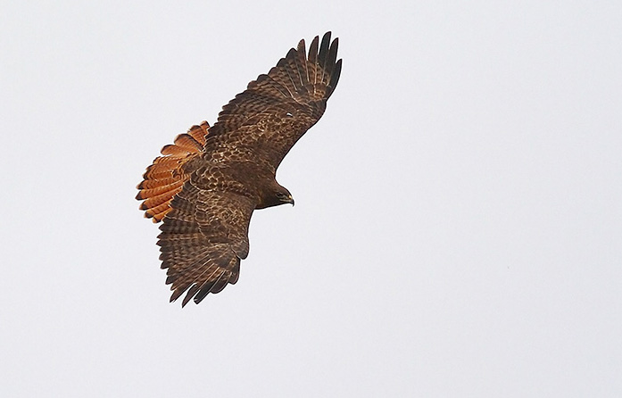
     The preserve is large enough to attract several kinds of birds of prey. We’ve seen as many as three golden eagles at once foraging over the prairie for ground squirrels. Those squirrels end up as food for red-tailed hawks, as well. The white-tailed kites eat mostly a small brown meadow mouse that is related to the voles and lemmings of the Arctic.

     Harriers, including a small falcon called a merlin, also hunt on the Herbert. Merlins are in California only during the winter months; they don’t nest in our state at all. But the Herbert’s open prairie is their perfect hunting ground. They go after small birds like horned larks, sparrows, and other birds that flock in fields, like blackbirds. To see a merlin hunt is a most memorable wildlife experience. Selecting its target, the merlin accelerates with blinding speed, closes unbelievably quickly on its prey, catches it in mid-air, and then brings it swiftly to the ground to feed on it.

     Just walking along the edge of the preserve in a good wet season, you can look over the mounds and see flocks of mallards and widgeons and green-winged teal, sometimes even Canada geese. Over fifteen different kinds of sandpipers and plovers and phalaropes have visited the pools and the slough.

     So far, more than 150 different avian species have been counted at the Herbert. Bring your binoculars and a field guide and see what flies in on your day at this fascinating wetland prairie preserve.

January, 2015

NOTE:  Now read Rob Hansen’s MYSTERIOUS VERNAL POOLS


Site Details & Activities:

Open:  Due to the rarity and fragility of its ecosystem, the Herbert is open to the public primarily on only one or two days each year, for special tours and events.  Individuals or organizations wishing to visit at other times must contact Sequoia Riverlands Trust for permission to access the preserve.  There is no fee for access, but donations are greatly appreciated.  And NOTE:  Birders can enjoy good birding opportunities from outside the Herbert’s long fence almost anytime.
Links:


Click on photos for more information.


The Story of the James K. Herbert Wetland Prairie Preserve

by Laile Di Silvestro

     On the first planting day of the 2013-2014 rainy season, several students from College of the Sequoias spent hours bent over soil scoured by a prescribed burn. They dug holes and patted small seedlings of oak, willow, cottonwood, and elderberry into the ground before watering them thoroughly.

     The students’ activity might not have seemed unusual to the Yokuts, the indigenous peoples of the Tulare Basin who lived off the land for thousands of years. They actively managed it by setting fire, by pruning dead undergrowth, by tending seedlings, and by transplanting some edible flora. Their resource management supported a diverse diet of seeds, roots, herbs, and meat, and helped them to maintain an adequate food supply despite variations in weather and water availability.

     Less than 150 years ago the Tulare Basin held the largest freshwater lake west of the Mississippi. The shallow lake, the rivers that fed it, and the miles of tule marshes and wetland prairie around it nurtured a rich diversity of plant species and wildlife.

     The first Euro-American settlers, who arrived in the 1850s, recognized the land’s agricultural potential and proceeded to drain the lake and marshes and divert its water sources to irrigation canals. By the early twentieth century, the lake had been reduced to small seasonal pools, and the basin was divided into a vast grid of intensively farmed land.

     Yet, about four percent of the original landscape remains, and an invaluable portion of that is enclosed within the fences of the James K. Herbert Wetland Prairie Preserve. This 725-acre site lies to the east of the vanished Tulare Lake shore, between the Kaweah and Tule Rivers, and protects the largest remaining piece of natural prairie in Tulare County.

     Its preservation is due to the efforts of biologist Robert Hansen, and the vision of farmers James and Carol Herbert. The Herberts hired Hansen in 1992 to assess the potential of the property. Hansen found a remnant of the land as it was before the Euro-American settlers arrived. It was ideally situated to serve as an important segment of the Oaks to Tules Wildlife Corridor and, if restored, could help preserve threatened plant and animal species while mitigating local flood and fire risk.

     After several years of study, Hansen recommended that the land be conserved, rather than converted into a dairy farm or orchard. The Herberts embraced the idea of protecting this vanishing habitat, which they fondly called their “wilderness.” In 2000, a coalition of government and private organizations provided the funds necessary for the Sequoia Riverlands Trust to purchase the land from the Herberts at less than market value.

     Two years later, the Trust took on restoration of the land with a rigorous scientific approach. With the help of the National Resource Conservation Service and the California Wildlife Conservation Board, the Trust began returning 83 acres of the site’s irrigated pasture to wetland.

     They restored vernal pools, dug three shallow ponds, constructed a meandering slough, and seeded the slough with native grasses. From 2005 to 2010, with a grant from the Central Valley Project Conservation Program, the Trust and dozens of volunteers continued wetland restoration while systematically monitoring how the native species respond to management programs that include prescribed fire and livestock grazing.

     The results are astounding. The diversity and abundance of native wetland prairie plants has increased. As a result, western spadefoot and freshwater invertebrates abound (seasonally). With the restored habitat, the long-tailed weasel, coyote, Golden eagle, and Swainson’s hawk come to forage. Ducks, grebes, and redwing blackbirds have returned to feed and nest. In all, the number of bird species on the property, including burrowing owls, has increased from 76 to 153.

     Of the animals that have returned to this land, perhaps none are more important than humans. Volunteers tend to return to the site again and again to see how the plants are doing and to enjoy the beauty of a thriving wetland prairie. “Human beings are a huge piece of the puzzle,” says project biologist Bobby Kamansky, “because we value biodiversity, and we, as a society, derive direct benefit.”

July, 2014

Note:  Now read Rob Hansen’s SOME BIRDS OF THE HERBERT PRESERVE and MYSTERIOUS LIFE OF VERNAL POOLS.  For more about hogwallows (Mima Mounds), see THE STORY OF THE HOGWALLOW PRESERVE.


Slideshow:


Quotes & More Photos:

“Good farmers, who take seriously their duties as stewards of creation and of their land’s inheritors, contribute to the welfare of society in more ways than society usually acknowledges, or even knows. These farmers produce valuable goods, of course; but they also conserve soil, they conserve water, they conserve wildlife, they conserve open space, they conserve scenery.” — Wendell Berry

“When the re-contouring work was done in October 2002, the 83-acre site was devoid of vegetation, but a new meandering channel (since dubbed Sellers Slough in honor of Carol Sellers Herbert, one of the original owners) and three ponds had been excavated and were just awaiting a ‘wetting’ invitation. Native grasses had been planted along Sellers Slough and needed rain and a christening flow of water down the new channels into the new ponds in order to green up the restoration site.” — Rob Hansen

“Young riparian trees and shrubs (valley oaks, willows, cottonwoods, button willow, elderberry, and blackberry) that have been planted along Sellers Slough near the northwest corner of the preserve are now getting tall enough that I fully expect that on one of my next birding visits, I will be lucky enough to find a western wood-pewee, a western bluebird, phainopepla . . . or a black-headed grosbeak perched in these plants (which are irresistible to migrating songbirds like these).” — Rob Hansen

“During the entire post-wetting and restoration/re-vegetation period (November 14, 2002 to July 27, 2011) 75 additional bird species have been added to the avian inventory at the Preserve. This is a remarkable testament to the effectiveness of ecological restoration: if you build it, if you wet it, they will come!” — Rob Hansen

“It’s so great to be able to walk along the edge of the preserve and look over the mounds where the vernal pools are and see flocks of mallards and widgeons and green-winged teal, sometimes even Canada geese out in the wetlands.” — Rob Hansen

“If you truly love nature, you will find beauty everywhere.” — Vincent Van Gogh

“The land around the Herbert Preserve . . . will change as crops change and as communities grow. But we’re hopeful that this large patch of wild open land will continue to provide recreation and solitude and scenic beauty and all the things that go along with wild land and the organisms, the critters that live there.” — Rob Hansen


Maps & Directions:


Address: On Hwy 137 (the Tulare-LIndsay Hwy), at its junction with Road 168, between Tulare and Lindsay.

Coordinates: 36.2113518, -119.1989383


From Visalia, take Hwy 198 east four-and-a-half miles to the Farmersville exit.

Turn south on Farmersville Boulevard (AKA J23/Road 164).

Several miles south, this road becomes Road 168, and ends (after eight miles total) at its T-junction with Hwy 137.  The Preserve is directly across Hwy 137, on the south side of the highway.


Site Details & Activities:

​Environment: Valley, prairie, mima mounds (hogwallows), wetland, vernal pools (seasonal)
Activities: birdwatching, botanizing, guided tours (contact SRT), hiking, photography, wildlife and wildflower viewing
Open: Due to the rarity and fragility of its ecosystem, the Herbert is open to the public primarily on only one or two days each year, for special tours and events.  Individuals or organizations wishing to visit at other times must contact SRT for permission to access the Herbert.  There is no fee for access, but donations are greatly appreciated.  And NOTE:  Birders can enjoy good birding opportunities from outside the Herbert’s long fence almost anytime.
Site Steward: Sequoia Riverlands Trust, 559-738-0211, info@sequoiariverlands.org
Opportunities for Involvement: donate, volunteer
Links:


Click on photos for more information.

The Story of Lewis Hill Preserve

by Paul Hurley

     Two elusive plants and the love for flowers of a rancher/naturalist were the factors in a formula that conserved 110 acres of Lewis Hill as a nature preserve in the Sierra Nevada foothills of Tulare County. Cole Hawkins is the rancher, and his family once owned 600 acres of Lewis Hill. From his childhood fascination with plants, through his developing interest in conservation and persistence in preserving a site he loved, Hawkins worked with many others to protect what he saw as miracles of nature.

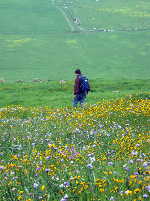
     Set in rocky foothills north of Porterville, Lewis Hill is an unprepossessing, grassy hump that rises to 1,028 feet in the middle of grazing country. Arid and speckled with random outcroppings of rock, it is typical of foothills grassland and blue oak habitat, although treeless. Each spring the hill supports an enticing mix of wildflowers: California poppy, wild hyacinth, miner’s lettuce, blue dicks, fiddleneck, popcorn flower, milk thistle, and cluster lily among them.

     Two flowers are imperiled: the San Joaquin adobe sunburst (Pseudobahia peirsonii, classified as endangered) and the striped adobe lily (Fritillaria striata, classified as threatened). The common names of both plants indicate they grow only in rocky, clay-based soil called adobe, Lewis Hill is one of the few places on Earth with the appropriate soil and climate for these species to thrive. They flower on Lewis Hill briefly from mid-January into early spring, and disappear the rest of the year. In this ephemeral botanical environment, Cole Hawkins fell in love.

    I‘ve always had a real interest in plants and animals,” Hawkins said. “I think I was born with it. I was just amazed by plants.” Hawkins grew up in citrus orchards in Southern California. His family bought the Beatty Ranch, which included much of Lewis Hill in Tulare County, in 1953, when Cole was three years old. His father named it Hermosa Tierra, “Beautiful Land.” They grew citrus and olives and ranged cattle on about 600 acres bisected by Plano Road and rising from the base to the peak of Lewis Hill.

     From spending his early years there off and on, Hawkins became enchanted with the place. At first he was more taken with the animals than the plants – bobcats, coyotes, squirrels, the occasional mountain lion, deer, fox, and striped and spotted skunks. But gradually he started noticing the plants, too, especially the bright indigo cluster lilies. “One of my milestones of the year was when the first brodiaea would bloom,” he said. “And brodiaea is a beautiful small blue lily. I was always excited when that happened.”

     Hawkins started working on the ranch in 1969, but took time off to pursue his college degree. Although he enjoyed the natural wonders of the property, the purpose of the farm was to raise food. The focus on the ranch was to suppress plants that weren’t citrus and olives, Hawkins said. “My uncle was afraid they were competing with the trees for water and nutrients.”

     They knew that grazing cattle on the ranch would suppress the wild oats, an introduced species that competed with the native plants. Hawkins said his interest in managing the land and encouraging the native plants started with his experiments in selective grazing. And that led to the conservation of Lewis Hill.

     Hawkins worked toward a Master’s degree in biology at California State University, Fresno while he nurtured his interests in botany. He would roam the fields of Lewis Hill, armed with a Munz guide to California plants, cataloging the various species he found.

     He decided he needed to learn more about what was on his ranch, so he asked for help from biologist Dave Chesmore and botanist Howard Latimer at Fresno State. He conferred with Bob Barnes of the Tulare County Audubon Society and biologist Rob Hansen. He called on another local farmer, Jack Zaninovich, who was active in the California Native Plant Society. They eventually determined that Lewis Hill had two threatened or endangered species, the striped adobe lily and the San Joaquin adobe sunburst.

     Hawkins began managing the ranch when his uncle retired in 1978. A few years later, he met a self-described “city girl,” a musician from Detroit named Priscilla Haapa. Priscilla moved to Porterville in 1972, where her daughter, Shanda Lowery, was born. Priscilla played principal cello in the Tulare County Symphony, taught private cello students, and started the string instrument program in the Porterville schools in 1973. She met Cole Hawkins at an Audubon Society meeting in 1981. He was looking for a volunteer for his water conservation booth at the Porterville Fair.

    I was the only one who signed up for helping him at this booth,” Priscilla said. “So that was the start of us realizing how much we really had in common. “About six months after that, I was going to leave Porterville, because I thought, ‘Oh, this is just too small of a town and all that.’ But by then I had already realized that Cole and I had something very special going.” Cole and Priscilla married in 1982. Two years later they moved into a house they built on Lewis Hill on 25 acres of ranch property the Hawkins family gave them.

     They both knew they wanted to keep Lewis Hill just as it was. They reveled in their views of wildlife, sweeping vistas, and delicate flowers. The fact that some were threatened or endangered was an asset. They would share strategies to preserve the place, talk to dozens of other people, and explore their options. Family events forced their hand.

     Hawkins’ mother, who owned a majority of the ranch, died in 1989, and the Hawkins family made plans to sell the property. Cole Hawkins was eager to pursue a Ph.D. in wildlife and fisheries science, and Priscilla wanted a place where she would play her cello and teach. They moved to Davis in 1991.

     Meanwhile, they continued their plans to preserve some of Lewis Hill. His brothers and sister donated 90 acres to the project, and Hawkins donated 20 of his 25 acres. Cole gives Priscilla the credit for coming up with the idea of a conservation easement for the property. They approached various organizations that could take the land in trust. For a time, the Nature Conservancy was interested, but the project eventually wasn’t big enough for them.

     Finally, in 1994, the family donated 110 acres to the Kern River Research Center, which Bob Barnes had helped to establish. Six years later, Lewis Hill was acquired by the Tule Oaks Land Trust, which has become part of the Sequoia Riverlands Trust (SRT). Each spring, SRT conducts a guided wildflower walk on Lewis Hill. Other times the property is open to groups for study and research only by arrangement with SRT.

     Cole and Priscilla Hawkins still return to visit Lewis Hill and Hermosa Tierra. The farmer who bought the ranch has kept it in citrus production, allaying the Hawkines’ fears that the property would be developed. “We just loved Lewis Hill and we wanted to keep it for other people to be able to enjoy it the way that we did.”

     Lewis Hill remains a preserve for the unique natural habitat of the Southern San Joaquin Valley and Sierra Nevada foothills, just the way Cole and Priscillla Hawkins wanted it to be.

February, 2016


Slideshow:


Quotes & More Photos:

“Join us for a Saturday stroll and wildflower immersion experience at Lewis Hill Preserve. We will be taking a guided tour of wildflowers including the rare striped adobe lily . . . . Bring your friends, bring your family!” — Sequoia Riverlands Trust

“Here there are two very rare flowers including the striped adobe lily (Fritillaria striata). This flower only grows on a few scattered hills in the area and nowhere else on earth. Why? Because it prefers a certain type of soil that comes from a certain type of rock. [T]he Sierra Nevada . . .  in its central and southern portions is mostly granite. . . Lewis Hill is made instead of a mix of dark volcanic and metamorphic rocks. And wherever this rare rock type occurs in this part of the world you may find this rare lily growing on it in late February and early March.” — Tarol

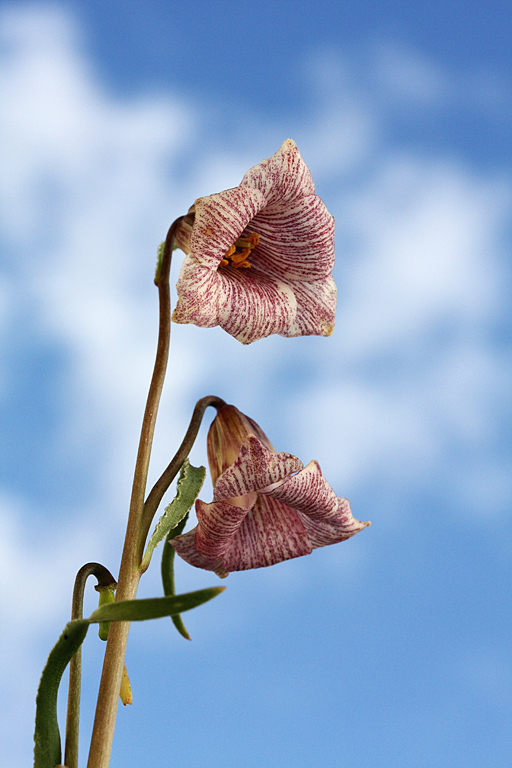
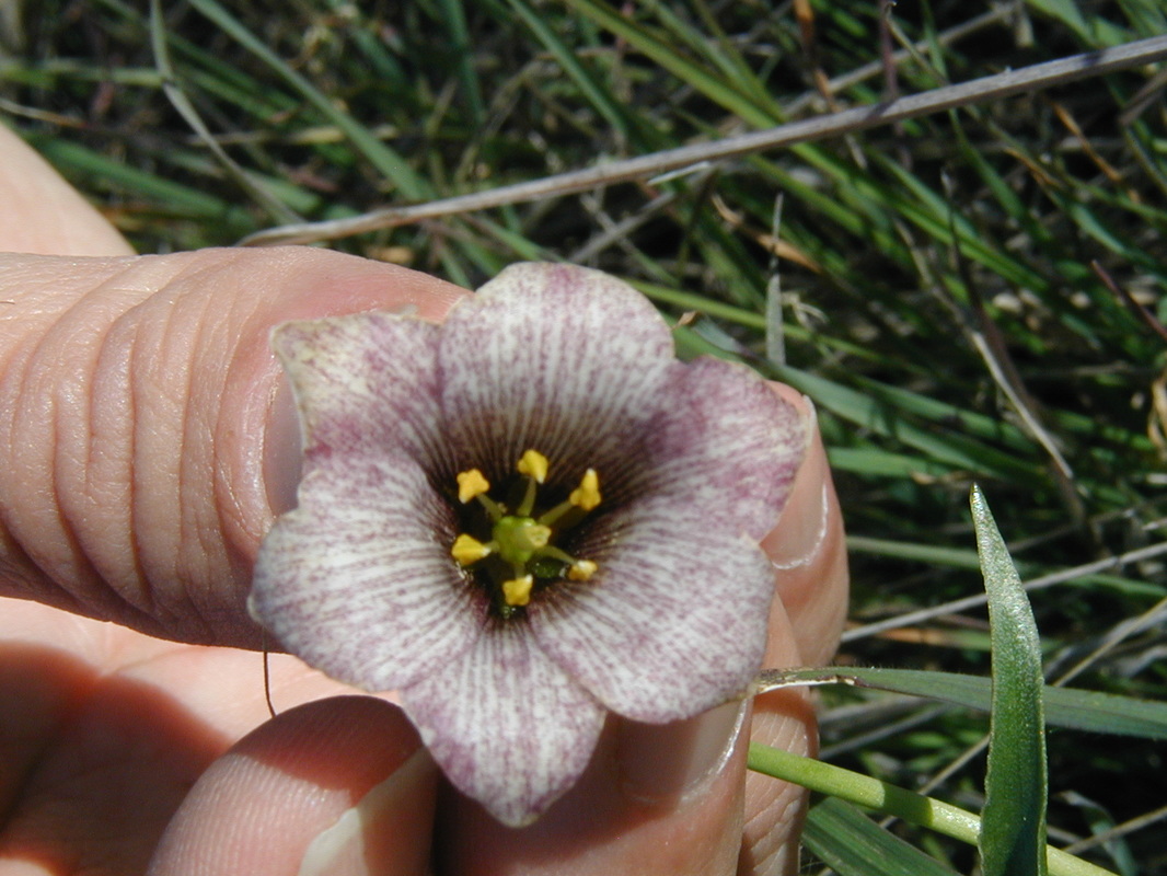
“Fritillaria striata produces an erect stem 25 to 40 centimeters tall and bearing pairs of long oval-shaped leaves 6 to 7 centimeters long. The nodding flower is a bell-shaped fragrant bloom with six light pink petals each striped with darker pink. The tips roll back. In the darker center of the flower is a greenish-yellow nectary surrounded by yellow anthers.” — iNaturalist.org

“I can show you how beautiful the lilies are by showing you a photograph, but oh how I wish I could let you get a whiff of them! They smell heavenly! They are closely related to the leopard lilies that grow higher in the mountains and like them exhibit one of the best wildflower smells that I have ever smelled. So be sure if you ever get a chance to meet this flower to get on your hands and knees and smell them, too.” — Tarol

“Along with the adobe lilies we saw blue dicks . . ., lomatium, poppies, wild onion, fiddlenecks, popcorn flower, soaproot, and a lone rare white shooting star. And some very cool rock outcroppings with very colorful lichen. [T]he views of the Sierra Nevada were drop dead gorgeous . . . .” — Tarol

“The main threat to the [striped adobe lily] plant is cattle grazing, wild pigs, and invasive species of grasses. Fritillaria striata is listed by the State of California as a Threatened species, and is on the California Native Plant Society Inventory of Rare and Endangered Plants of California, listed as Seriously Endangered in California.” — iNaturalist.org

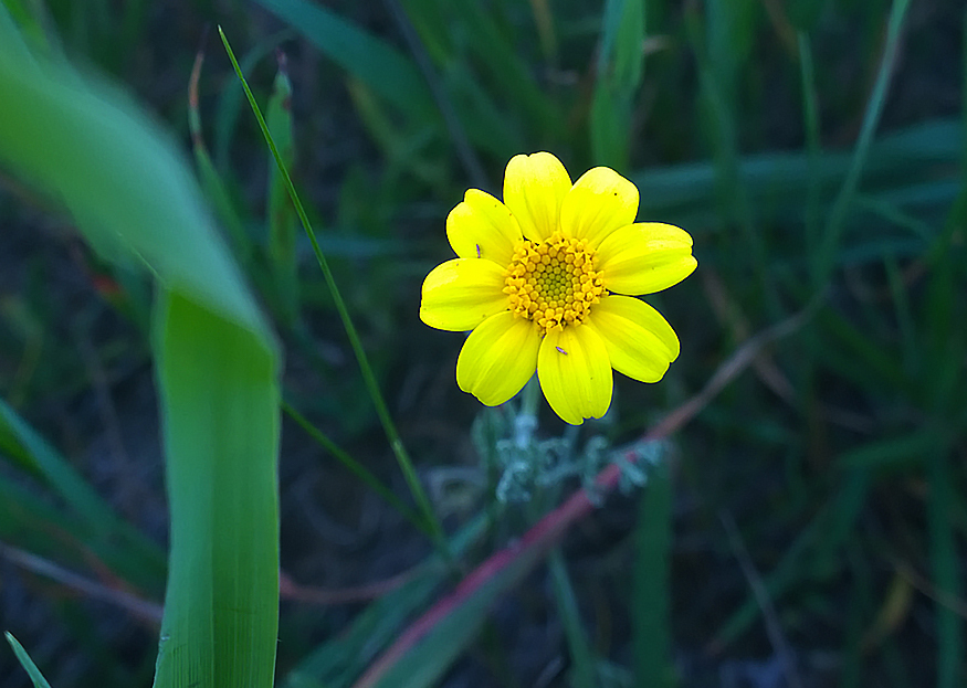
“San Joaquin adobe sunburst is a member of the Asteraceae family. It is an erect annual herb about 1 to 6 decimeters (4-18 in.) tall, loosely covered with white, wooly hairs. Its alternate leaves are twice divided into smaller divisions (bipinnatifid), triangular in outline, and 2 to 6 centimeters (1 to 3 in.) long. Flower heads, which appear in March or April, are solitary at the ends of the branches. The ray flowers are bright yellow and equal in number to the subfloral bracts. They are about 3 millimeters (0.1 in.) long with many disk flowers. The dry fruits, called achenes, are black.” — U.S. Fish and Wildlife Service

“Conversion of natural habitat to residential development is the primary threat to San Joaquin adobe sunburst. In addition, road maintenance projects, recreational activities, competition from nonnative plants, agricultural land development, incompatible grazing practices, a flood control project, transmission line maintenance and other human impacts also may threaten the species.” — U.S. Fish and Wildlife Service

“There are a lot of people who take really good care of their lands. And it would be really nice if more people would become aware of conservation easements and land trusts and preserve the habitats that these plants and animals grow in.” — Cole Hawkins


Maps & Directions:

Directions:

Note: Usually open only one day per year, as scheduled by Sequoia Riverlands Trust. Please do not visit the Preserve without express permission from SRT and do not trespass on the private land surrounding the Preserve.

From Visalia, take Hwy 198 east to Hwy 65 south toward Porterville. Exit onto Henderson going east toward Plano Road.  Take Plano Road south to the crest of the first hill. Lewis Hill is on the west side of the road.

(Alternatively, continue south on Hwy 65 and exit east on Hwy 190 into Porterville.  Exit Hwy 190 north onto Plano Road, about one-and-a-half miles east of Highway 65. Drive north on Plano Road about four miles to the crest of the first hill. Lewis Hill is on the west side of the road.)


Site Details & Activities:

Environment: Foothills, just north of Porterville; peak elevation 1028′; 110 acres; rare wildflowers; great views
Activities: open to the public for special tours and events only (please contact SRT to arrange); annual guided wildflower walk with Sequoia Riverlands Trust (suggested donation $15; $10 for SRT members), usually in February; dogs are not allowed on this preserve
Open: usually only once each year, in the spring, usually in February; check with Sequoia Riverlands Trust
Site Steward: Sequoia Riverlands Trust, 559-738-0211
Opportunities: donate, volunteer
Links:


Click on photos for more information.

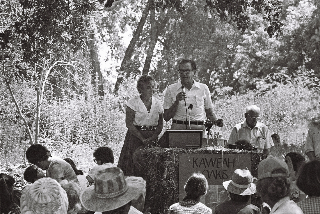
The Story of the Kaweah Oaks Preserve

by Louise Jackson

     As far as the eye could see, there were oak trees — over four hundred square miles of woodlands stretching westward from the Sierra Nevada foothills to the vast Tulare Lake. When the first Spanish and American explorers came into the southern San Joaquin Valley almost two hundred years ago, they struggled for days through a maze of rivers, wetlands, and towering trees.

     The riparian landscape of the Kaweah River delta was especially formidable with thickets of willows, tangled wild grape vines, elderberries, and blackberries. It was so marshy, particularly during the annual winter flood season, that the local Yokuts people could not live in it. They fished in its ponds and streams, hunted its great variety of wildlife, and harvested its abundance of plants and acorns, but they located their villages on higher, drier ground.

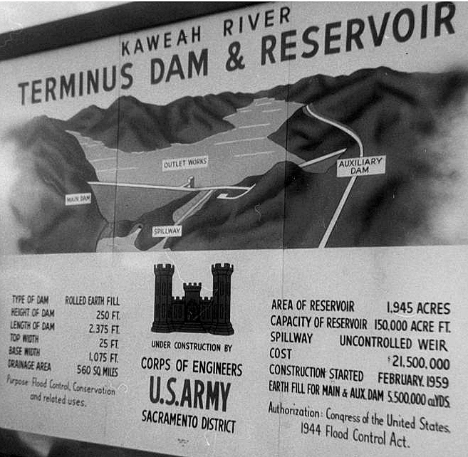
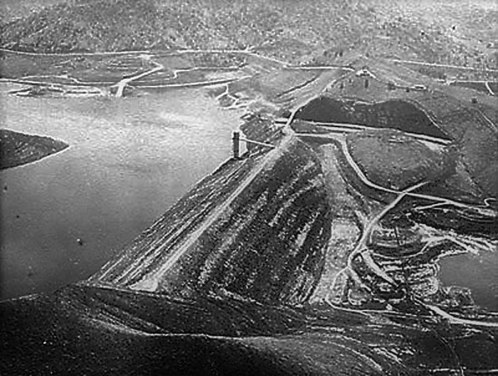
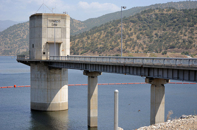
     Then the European and American settlers arrived. They created the town of Visalia on the flood plain of the Kaweah River and began to farm the area. They cleared the surrounding land of oak trees so they could grow grain crops, orchards, and vineyards, and also use the oaks for firewood. Decade after decade, farmers channeled the river and streams into ditches and canals until only one large area of wetlands to the east of Visalia survived. “The swamp” flooded each winter and its water table was too high for successful farming. However, even there the land began to dry, especially after Terminus Dam was completed in 1962 to control the Kaweah River’s flooding.

     In the mid 1900s, the Davis family of Woodlake gained title to this land and for three generations grazed cattle in its meadows. In 1982, young Myrtle Davis Franklin inherited the 324-acre property. It was no longer a swampland and she decided she wanted to clear it and turn it into a walnut grove. On friends’ recommendations, Myrtle sought the advice of the University of California’s Tulare County Farm Advisor, Alan George. Surveying the land, Alan found that the water table was still only about eight feet below the surface. He advised Myrtle that her property was suitable only for high-maintenance field crops.

     Alan then asked Myrtle if she might consider preserving the land. He and his friend, educator Max Cochran, had discussed the fact that the area was one of the few Valley Oak woodlands still in its near-natural state, and they felt it should be preserved. Nevertheless, Myrtle wanted to pursue farming and declined Alan’s suggestion. Later, however, she reconsidered. Alan promptly contacted Jack Zaninovich of Delano, a farmer and also a Director of the Nature Conservancy. Jack referred Alan to Steve McCormick, chairman of one of the Conservancy’s acquisition projects. Steve hurried down to inspect the acreage and immediately knew it was prime conservation land.

     A few months later, after extensive negotiations, the Nature Conservancy bought the land for $1,010,000, about $3,000 an acre. In a drive organized by Alan George, the people of Tulare and Kings Counties raised over $100,000 through community donations to help The Nature Conservancy pay for the 324-acre oak woodland.

     In 1998, The Nature Conservancy turned over control of the preserve to the newly formed Four Creeks Land Trust, made up of local volunteers who had been successfully managing it for several years. (Four Creeks merged with two other local land trusts in 2003 to become today’s Sequoia Riverlands Trust.)

     Now thousands of visitors enjoy Kaweah Oaks Preserve every year. Education is a major emphasis of activities at the preserve, highlighted by school tours, guided public walks on its trails, interpretive materials, and historical information. As Alan George tells us, if we could see “all the young people that go out to Kaweah Oaks to enjoy the beauty of this area and to imagine what the area was like before the white man came in,” we would fully understand the preserve’s importance.

     More than 400 people attended the dedication of the Preserve on May 15, 1983. Many of them had worked hard to contribute to the success of one of the most unique preserves in our nation. However, none of them could feel the joy that Myrtle Davis Franklin felt. “You don’t know what this means to me,” she exclaimed to Alan George that day. “This is one of the most exciting things I’ve done in my life.”

                                                                                                                                                                                                                                                       October, 2012

     Note: Now read Alan George’s first- person account of the origins of the Kaweah Oaks Preserve: “A Lucky Day in the Office.”


Slideshow:


Quotes & More Photos:

Alan George, Tulare County’s “Mr. Oak”

“And the world cannot be discovered by a journey of miles, no matter how long, but only by a spiritual journey, a journey of one inch, very arduous and humbling and joyful, by which we arrive at the ground at our feet, and learn to be at home.” — Wendell Berry

“Around me the trees stir in their leaves, and call out, ‘Stay awhile.’ The light flows from their branches. And they call again, ‘It’s simple,’ they say, ‘and you, too, have come into the world to do this, to go easy, to be filled with light, and to shine.'” — Mary Oliver

“In a place where recorded history is so short and the people so transient, the few remaining valley oak trees stand out with their deep-rooted pasts. Some are six hundred years old. Their trunks, which reach diameters of nine feet, are strong enough, considering the sail effect of their large canopies, to withstand the spring winds that sweep across the valley. The trees are huge and many-limbed in a graceful, drooping sort of way.” — Philip L. Fradkin

“As for myself, I swung the door open. And there was the wordless, singing world. And I ran for my life.” — Mary Oliver


Maps & Directions*:

Kaweah Oaks Preserve Address: 29979 Road 182, Exeter, CA 93221

Latitude/Longitude:

N36° 19.9403’/W119° 9.977′

36.332338, -119.166283


From Visalia, go east on Hwy 198 about 7 miles to Road 182; go north on Road 182 about ½ mile to Kaweah Oaks Preserve parking lot on the west (left) side of the road.


*To visit the Alan George Grove at Seven Oaks Park: from Visalia, take Hwy 198 east to S. Ben Maddox Way. Go north on Ben Maddox to E. Mineral King Ave., west on E. Mineral King Ave. to S. Burke Street. Go south across 198 to E. Noble Ave. Go east on E. Noble Ave. to S. Edison St. Go south on S. Edison St. to Seven Oaks Park at 942 S. Edison St. (on the east side of the street). The Park also features a children’s play area, covered picnic tables, and a disc golf course.


Site Details & Activities:

Environment: Valley, riparian, Valley oak woodlands
Activities: birdwatching, botanizing, dog walking (on a 6′ leash; scoop poop), educational activities, hiking, photography, picnicking, special events
Open: Winter: 8:00 a.m. – 5:00 p.m., Summer: 8:00 a.m. – 7:00 p.m., Spring/Fall: 8:00 a.m. – 6:00 p.m.; free admission (donations accepted)
Site Steward: Sequoia Riverlands Trust (SRT), 559-738-0211
Opportunities: donate, volunteer
Links:

Click on photos for more information.

A Trip to the Great Canyon of the Kings

by Laurie Schwaller

     The southern part of Kings Canyon National Park is in Tulare County, including readily-accessible sequoia groves, such as the southern part of General Grant Grove, the Redwood Meadow Grove, and the Buena Vista Grove. Take the trail to the top of Buena Vista Peak, an easy day hike, for terrific views.

     For a wonderful backcountry experience, hike from the Lodgepole Visitor Center area in Sequoia National Park into the spectacular Sequoia Kings Canyon Wilderness section of Kings Canyon National Park, where peaks, meadows, lakes, streams, and many beautiful trails await you. (You can also hike out of Wolverton and over the Tablelands into this wilderness portion of Kings Canyon National Park.)

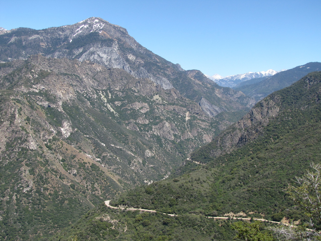
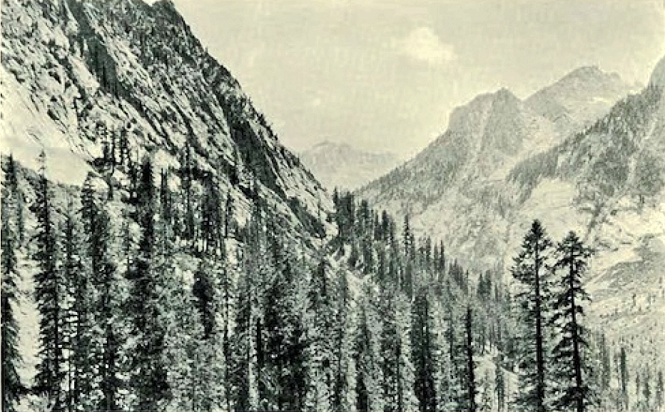
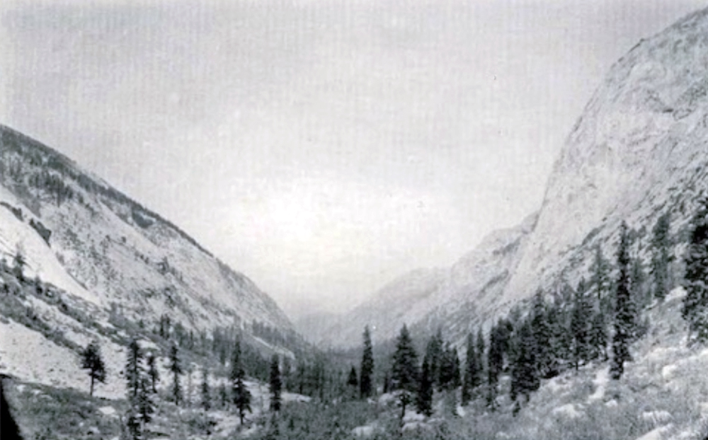
     However, if you’re here during the three seasons when the road to it is open, you must see also the great canyon of the Kings River for which Kings Canyon National Park was named, and to do that, you must leave Tulare County (although that tremendous canyon was within our county, until boundary changes in the 1870s put it into Fresno County). From the Kings Canyon Visitor Center in Grant Grove Village (in Tulare County), take Highway 180 north, cross the county line, and drive through the northern section of Giant Sequoia National Monument (where you’ll glimpse the effects of the logging over 100 years ago in the sequoia groves that impelled the campaigns to save these giants).

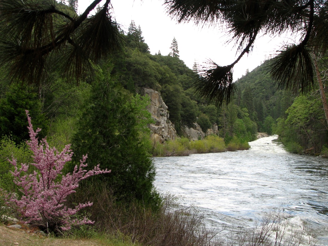
     After winding steeply down the flanks of the vast canyon (on a good, paved 2-lane road with many curves), stop for sensational views of the Wild and Scenic Kings River at Junction Vista and again at Horseshoe Bend, just before you finally reach the level of the river, where you can tour beautiful Boyden Cavern (guided tours only; fee).

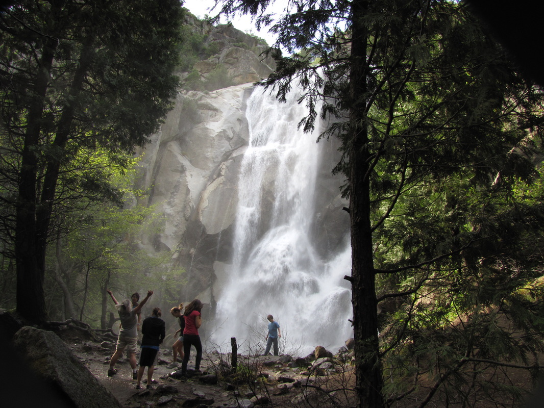
     Now follow the tree-lined Kings River up-canyon and stop to visit marvelous Grizzly Falls, just a few steps from the roadside picnic tables.

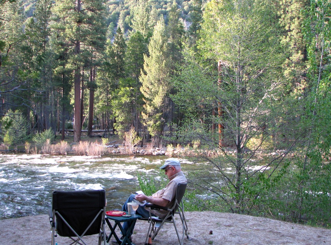
     Soon after that, you’ll re-enter Kings Canyon National Park, with several campground options, a lodge, a restaurant, a ranger station, a riding and packing stable, picnic areas, abundant wildlife, trails for people of all abilities and inclinations, ranger programs, and some of the most sensational scenery in the nation.

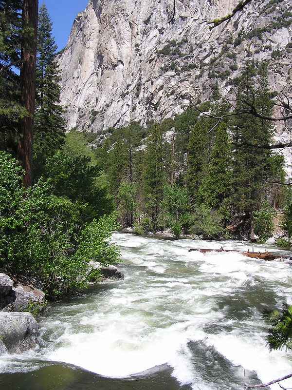
     John Muir called Kings Canyon “another Yosemite,” and the forests, flowers, meadows, rivers, creeks, waterfalls, lakes, cliffs, and peaks calling you to explore and enjoy them make spending at least one night, and preferably several, in this richly rewarding environment a must.

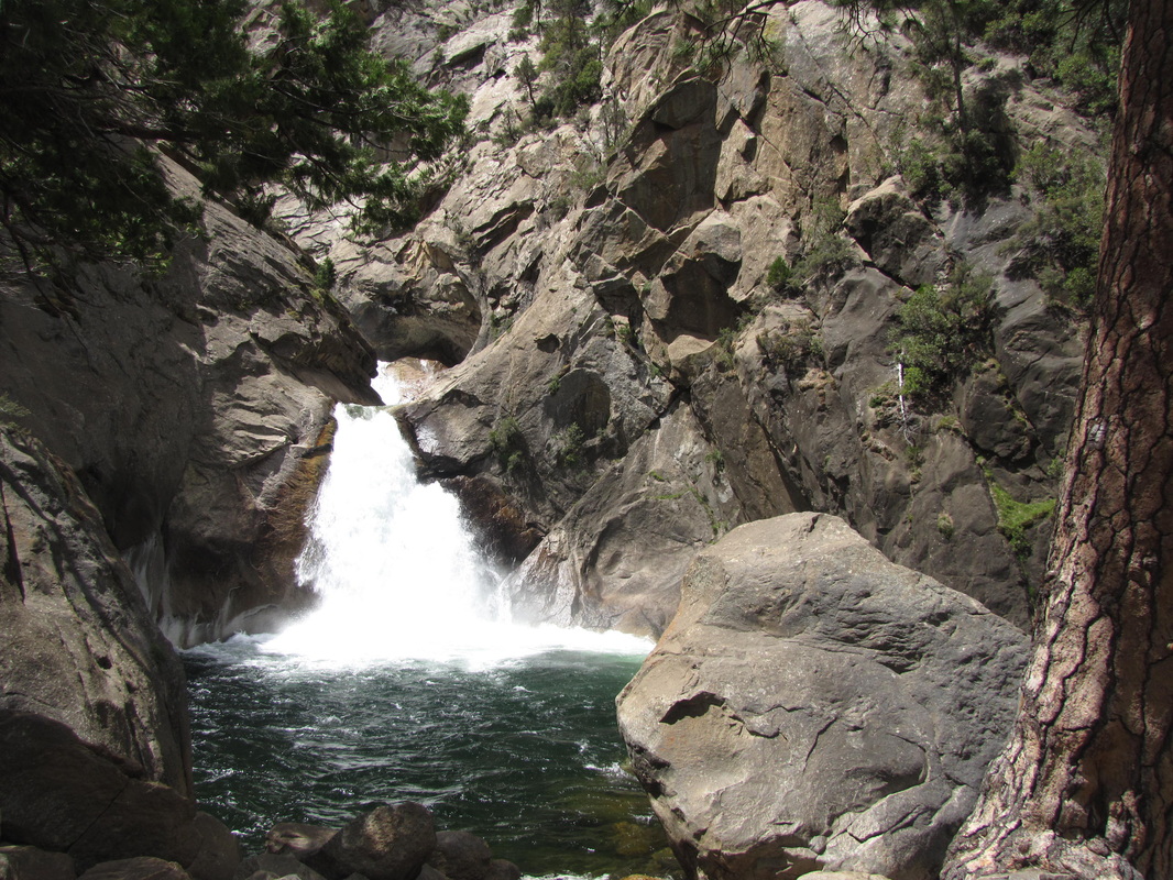
     Be sure to take the short walk (paved trail) to Roaring River Falls, the easy walk along the river at Zumwalt Meadows, and the quick walk to the huge rock in the river where John Muir spoke. The trails on the canyon floor are almost flat, and you’re sure to see wildlife along them.

     When other commitments force you to leave this gigantically grand and yet invitingly intimate canyon, there’s only one road out: take Highway 180 back to Grant Grove and be amazed all over again by the views going the other way.

May, 2014


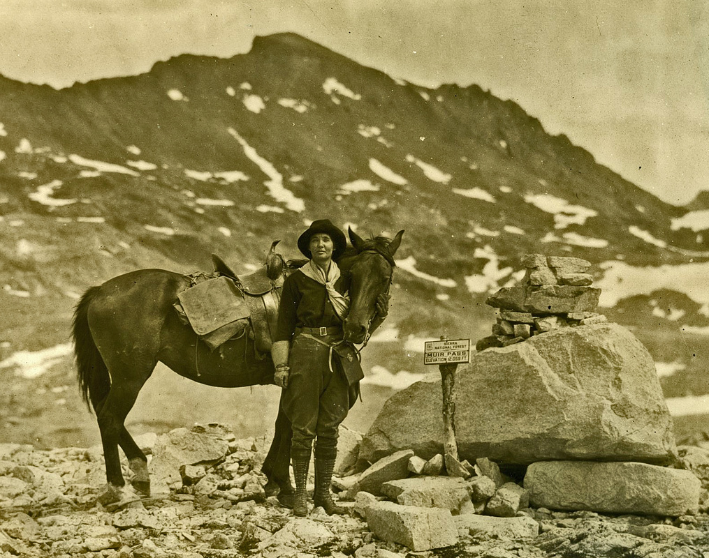
Susan Thew and Sequoia and Kings Canyon National Parks:

“Susan Priscilla Thew[‘s] . . . enthusiasm and energy left a lasting impact on Sequoia and Kings Canyon National Parks. . . . [In 1923] Thew [resident of Exeter] hoped to capture a still untouched landscape in images and words that would make clear the need for its preservation. Little did Thew know that her work would succeed in nearly tripling the park’s acreage . . . .” — National Park Service/Sequoia and Kings Canyon National Parks

“She spent several summers traversing some of the most rugged terrain in the continental United States . . . photographing the landscape in hopes of conveying . . . its beauty.” — National Park Service/Sequoia and Kings Canyon National Parks

“With these images, the largest and most complete photographic record of the region to date, Thew produced a publication for distribution to members of Congress promoting the park idea. . . .” — NPS/Sequoia and Kings Canyon National Parks

“Shall we place under the supervision of the National Park Service for Federal protection a distinctive scenic area, whose greatest value to you – the people – is for the advancement of science in various forms, for the protection of watersheds, the perpetuation of the oldest living family of trees, the preservation of wild life, and as an incomparable wilderness playground.” – – Susan P. Thew

“This is an appeal to you to help save for posterity one of the most splendid portions of the High Sierras, the wild country to the north, northeast, and east of the present Sequoia National Park, by expanding this park to larger boundaries.” – – Susan P. Thew

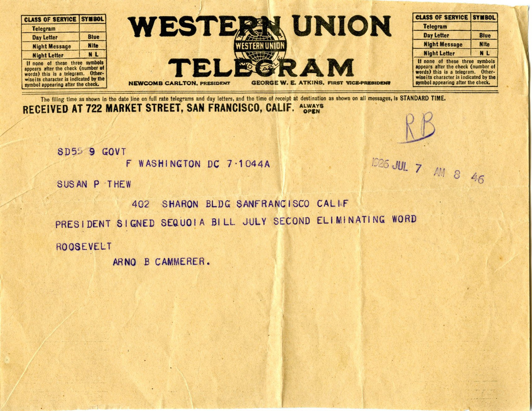
“After passage of the bill, the director of the National Park Service sent a telegram to Susan in recognition of her efforts. . . . her persuasiveness and ardor were undoubtedly the deciding factor in the push for park expansion.” — NPS/Sequoia and Kings Canyon National Parks

“During the campaign to create Kings Canyon National Park in 1940, Thew’s approach was used again. Photographer Ansel Adams created a portfolio of stunning images for distribution among members of Congress and, like Thew, his efforts contributed to success in passing an expansion bill.” — NPS/Sequoia and Kings Canyon National Parks

“If you are weary with the battle, either of business or the greater game of life, and would like to find your way back to sound nerves and a new interest in life, I know of no better place than the wild loveliness of some chosen spot in the High Sierra in which, when you have lost your physical self, you have found your mental and spiritual re-awakening.” — Susan P. Thew (1920s)

“In 1918, Susan Thew discovered something she loved and devoted all her efforts to making a change. She not only found a new source of personal energy in the parks, she ensured that generations to come would have the same opportunity.” — NPS/Sequoia and Kings Canyon National Parks

“To honor her efforts on behalf of Sequoia National Park and her love of the High Sierra, in 2023 the newly-renovated theater inside the parks’ Lodgepole Visitor Center was dedicated as the Susan Thew Wilderness Theater.” — National Park Service/Sequoia and Kings Canyon National Parks


Maps & Directions:

Directions:

Latitude/Longitude:

36°47′27″N 118°40′13″W

From the Kings Canyon Visitor Center in Grant Grove Village in Kings Canyon National Park, take Highway 180 north down into Kings Canyon, the Cedar Grove area, and Road’s End (Kanawyers Loop).


Click on photos for more information.

The Story of the Kaweah Post Office
Kaweah, CA 93237

by Shirley Kirkpatrick

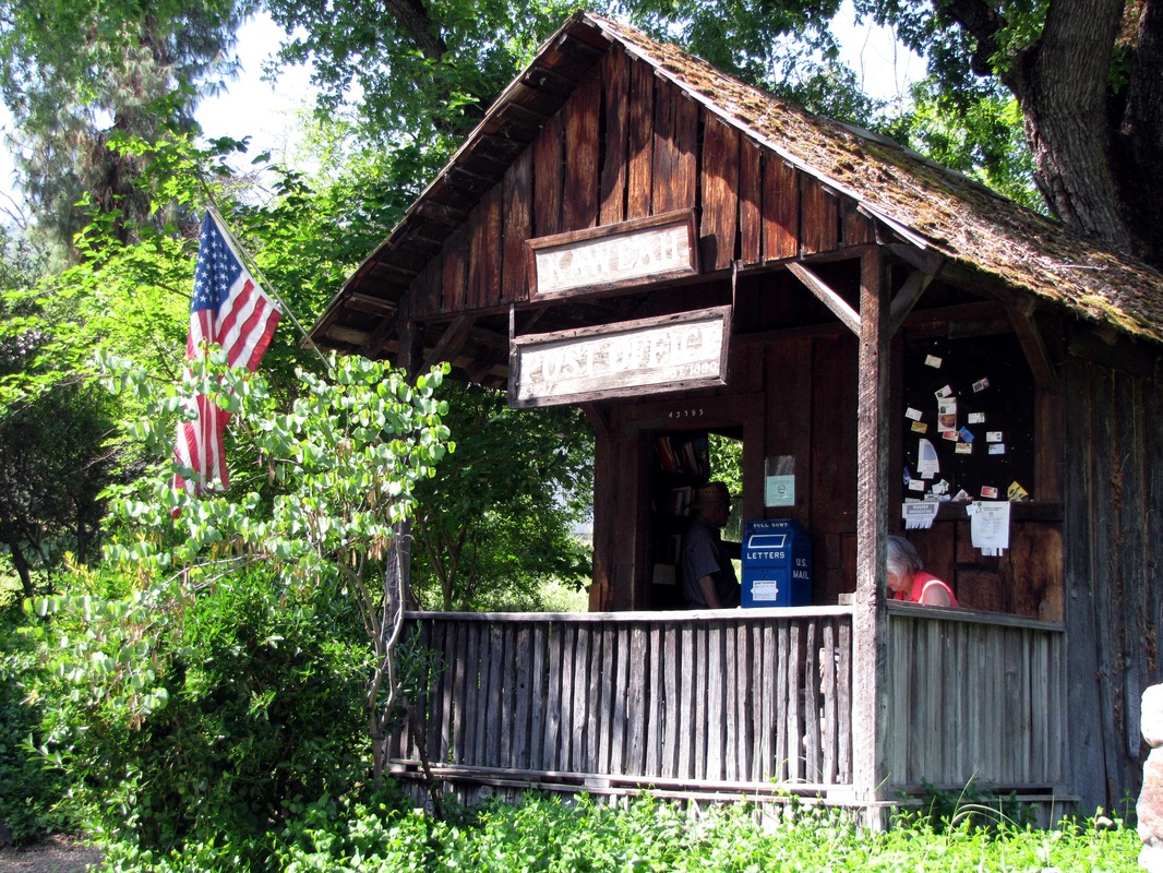
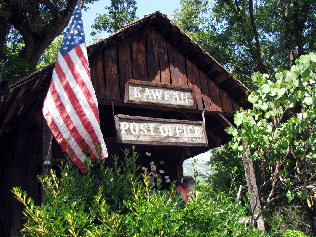
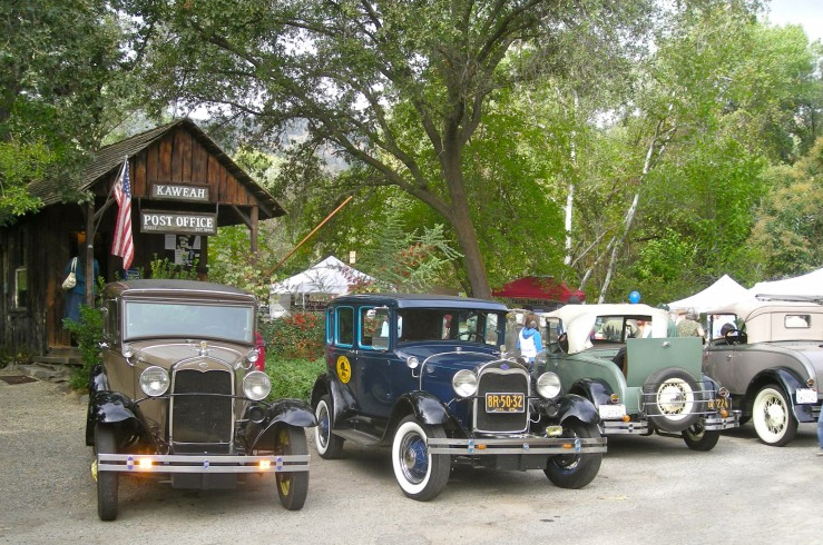
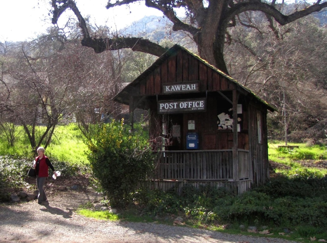
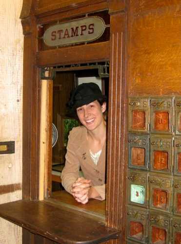
     For more than 120 years, the tiny Kaweah Post Office has served the folks on the north fork of the Kaweah River. A rustic wooden cabin, just 10 feet by 12 feet, it has withstood time and the elements to carry out its mission.

     It has also withstood periodic challenges to its very existence. Many times the U.S. Postal Service has pursued closure and each time loyal supporters from far and near have defended this historical gem. It has become more than a post office; it is a gathering place, a vestige of the community’s idealistic roots and a touchstone to history.

     The building is tangible evidence of the once-famous Kaweah Cooperative Colony – an effort to form a Utopian community that garnered international attention but only lasted from 1886 to 1892. The post office was first established in 1890 in a tent at Advance, the name chosen as the townsite of the Kaweah colonists. In 1890 the office was moved a short distance away and the name changed to the Kaweah Post Office.

     When the cooperative dream failed, many colonists stayed in the area. They kept the postal connection, moving the location several times to suit their needs.

     As the area became more populated, the post office outgrew this portable system. In 1910, local ranchers pitched in $2.50 each, along with their labor, to build the sturdy little redwood building in use today.

     For awhile, it sat at Bartlett’s Dairy on North Fork Drive, the road constructed by the Kaweah Colonists to reach the higher elevations for their planned lumbering business. Tourists used it as well, since it served as the entrance to Sequoia National Park until a new road on the Kaweah’s Middle Fork was built in the 1930s.

     In 1926, Ida Purdy, whose family were colonists, was appointed postmistress of the Kaweah Post Office. Since she was also the Kaweah Branch librarian and the library was in her home, she asked that the post office be moved there too. No problem. Neighbors put the building onto logs and rolled it down North Fork road about 800 feet to where it remains firmly planted under a towering oak tree to this day – still serving as a community gathering spot where box holders share greetings and news as they gather their daily mail.

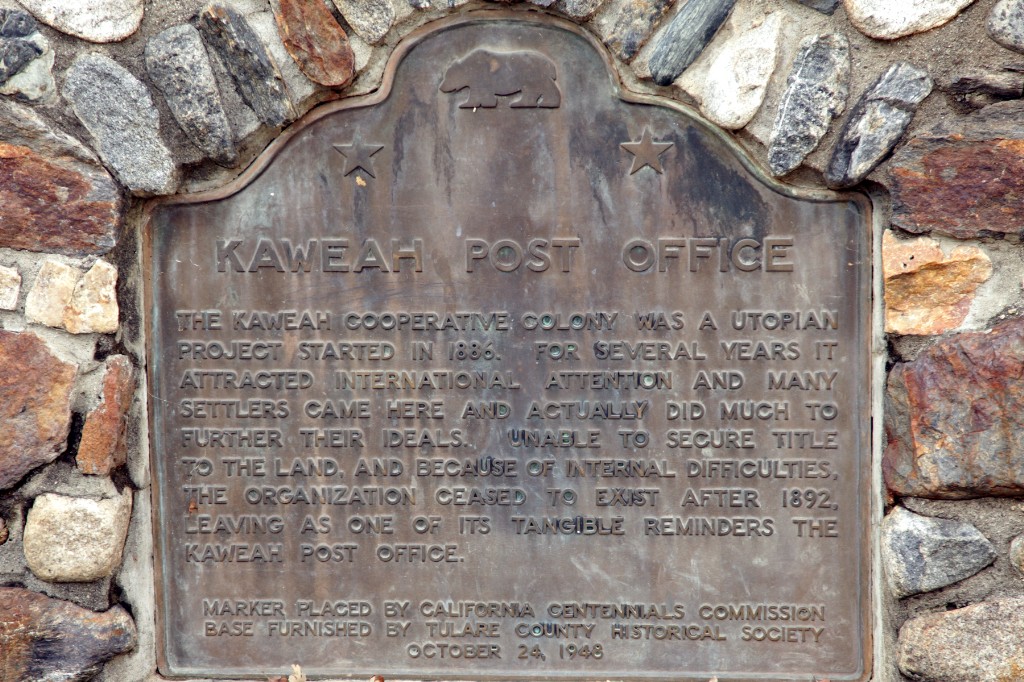
     Often called quaint and picturesque, on October 24, 1948, the Kaweah Post Office had its historical status officially recognized by the California Centennial Commission and the Tulare County Historical Society. A special cachet was designed by a local artist for the occasion and 4,000 letters from far and near were posted that day.

     The operating post office has always gone with the land it sits on. Still, it came as a surprise to Kathleen McCleary when she bought her 32-acre ranch in 1999 and was told that she also owned and was responsible for the structure. She has taken that responsibility seriously.

     And, in the cooperative spirit of the early colonists, a whole host of other people took it seriously every time closure threat was imminent, especially in 1953 and 1975.

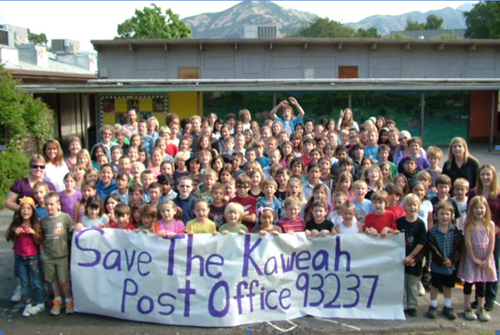
     The 2010 closure threat came as residents were gearing up for the building’s 100th birthday celebration. School children painted a large “Save the Kaweah Post Office” banner; a special cachet cancellation was welcomed by stamp collectors from around the world; the birthday party featured food and craft booths and music and, as Kathleen put it, “people came in droves.” Beyond public support, the event generated some income – enough to trim the big oak tree for the safety of the building and its patrons.

     The latest appeal for the endangered little building was made as recently as March, 2013. In a letter to the editor of The Kaweah Commonwealth, Kathleen urged more people to sign up as box holders to create a larger revenue stream. The office is now staffed by a volunteer who puts up the mail daily for the 50 box holders and is “open” for counter work one hour a day on weekdays.

     Knowing we cannot always count on tourist appeal and historical nostalgia to convince the government to continue service at the small post office, Kathleen worries about what might become of it when she’s gone. She and others are beginning to research how a permanent land easement could be placed on the property on which the building sits. “It would be nice to preclude somebody from developing the land in a different way. My dream would be to have the post office fully operational again, with a paid postmistress,” says McCleary.

     Pipe dream? Who knows. As we’ve seen before, dreams do come true in Kaweah country.                                               

                                                                                                                                                                                                 September, 2013                                                                                                                                                                                                                                                                                                                  

Update: In 2021, Kathleen McCleary sold the parcel containing the Kaweah Post Office to her neighbors Ramon and Maria Rodarte, who have vowed to maintain it in its vintage condition and treasure it in honor of their grandchildren and all the generations to come. Mail is still picked up at the post office, but, alas, it can no longer be postmarked “Kaweah.”


Slideshow:


Quotes & More Photos:

“When I came to Three Rivers and Tulare County, I immediately loved the feeling of history. You had ranchers who had been here all their lives, and you just had that feeling. And so I adopted that. I loved that feeling of you belonging.” — Kathleen McCleary

“When I became the owner of this little bit of history, that was my chance to actually participate and feel like I really, really belonged to a place. And it had a vibrant history, a socialist, Utopian, colony history. That’s how it got started.” — Kathleen McCleary

“One of our major projects for the past year or so has been the registration of points of historical interest. The first such marker under this program will be placed at Kaweah Post Office later this month. The Centennials Commission furnishes the bronze tablet and the Society has undertaken to erect the monuments and place the markers.” – Tulare County Historical Society “Bulletin No. 1,” October, 1948

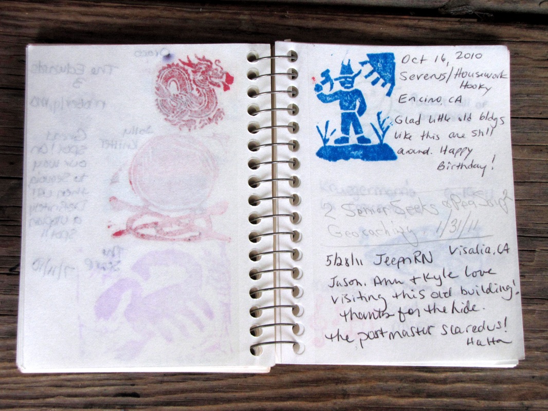
“People come from all over the world. It’s on an A to Z list for the Harley Davidson motorcycle group. There’s a little hidden box around the corner for a group of stampers. They have their own little stamps and they put their name in this book, and stamp with the Kaweah stamp, saying they’ve found this spot. It’s a spot on people’s wish lists, and bucket lists.” — Kathleen McCleary

“Our school children come. They’ve had watercolor classes here. One artist had them painting little birdhouses to look like the Kaweah Post Office. A woman who teaches photography in Visalia has brought her children here, for photo lessons on a field trip.” — Kathleen McCleary

“And every day, people come to get their mail. It’s a social experience. I’ve watched some of these people getting older along with the building. And then there’s some young families that have started to get boxes. . . . a new group coming up that still wants to get mail in this little tiny community.” — Kathleen McCleary

“If you’re not financially productive, the business commercial world sometimes doesn’t see any reason for your existence. But people look at this little building and they say, ‘Oh, yes, but you have to keep this one going.'” — Kathleen McCleary


Maps & Directions:


From Visalia, head east on Hwy 198 into Three Rivers. Turn north onto North Fork Drive, cross the river, drive about 3 miles up North Fork, and the post office and its historic marker will be on your left.


Site Details & Activities:

Environment: Foothills
Activities: history, photography, picnicking, scenic drive; 100 years old May 19, 2010; was third? smallest and oldest continuously operating P.O. in U.S.
Open: The inside of the building is no longer open to the public, but the porch, exterior, and picnic area are always accessible.
Site Stewards: Ramon and Maria Rodarte; Kathleen McCleary, 559-561-4055; katmccleary@att.net
Opportunities: donate, volunteer
Links:
Books: 1) Co-Operative Dreams: A History of the Kaweah Colony, by Jay O’Connell (Raven River Press, Van Nuys, CA, 1999)
2) Kaweah Remembered: the Story of the Kaweah Colony and the Founding of Sequoia National Park, by William C. Tweed (Sequoia Natural History Association, 1986)


Click on photos for more information.

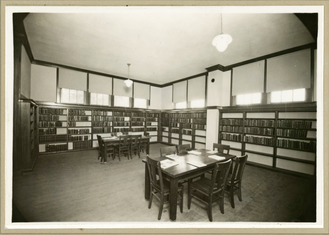
The Story of the Exeter and Orosi Carnegie Libraries

by Shirley Kirkpatrick

Emerging Towns and Inquiring Minds Garner Carnegie Libraries — The Story of the Exeter Public Library/Carnegie Community Building/Senior Center and the Orosi-Cutler Branch Library

     At the turn of the twentieth century, no one in Tulare County had a radio. Such electronic marvels as television, computers, and cameras as we know them had not even been dreamed of. There were few schools with sufficient supplies, and many households could not afford to buy much in the way of books or magazines. Yet, as small towns across America grew, their residents were hungry for knowledge. They yearned for schools and libraries.

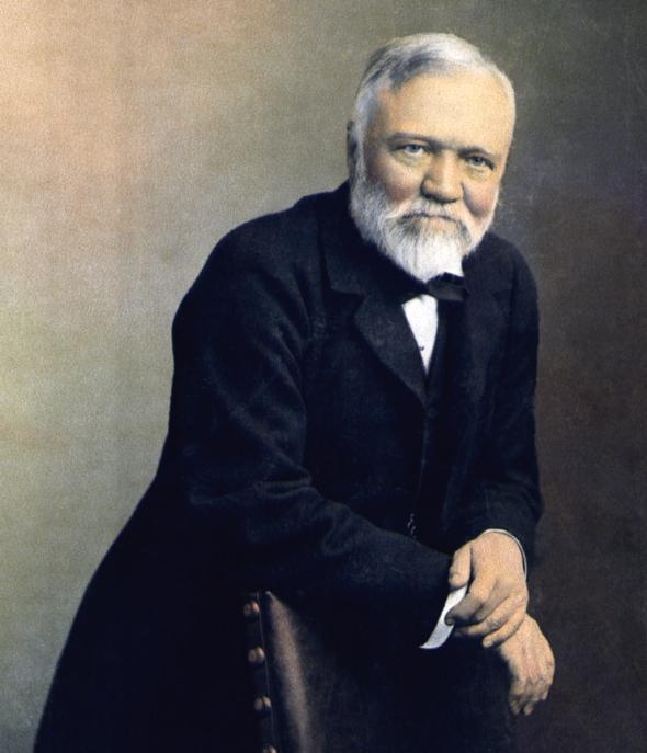
     Scottish-born American industrialist and philanthropist Andrew Carnegie fully understood this. Between 1889 and 1929 his Carnegie Corporation funded construction of 1,681 public library buildings in the United States, as well as many more in Africa, the Caribbean, Canada, and Europe. Rural Tulare County received six of them.

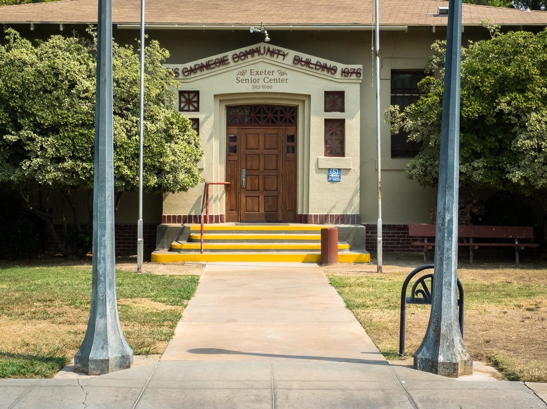
     Of those six, only two remain in use today. The Orosi Carnegie still serves as a free public library. The Exeter Carnegie building serves as a community center for senior citizens. Both have achieved listing on the National Register of Historic Places, Orosi in 1983 and Exeter in 1990.

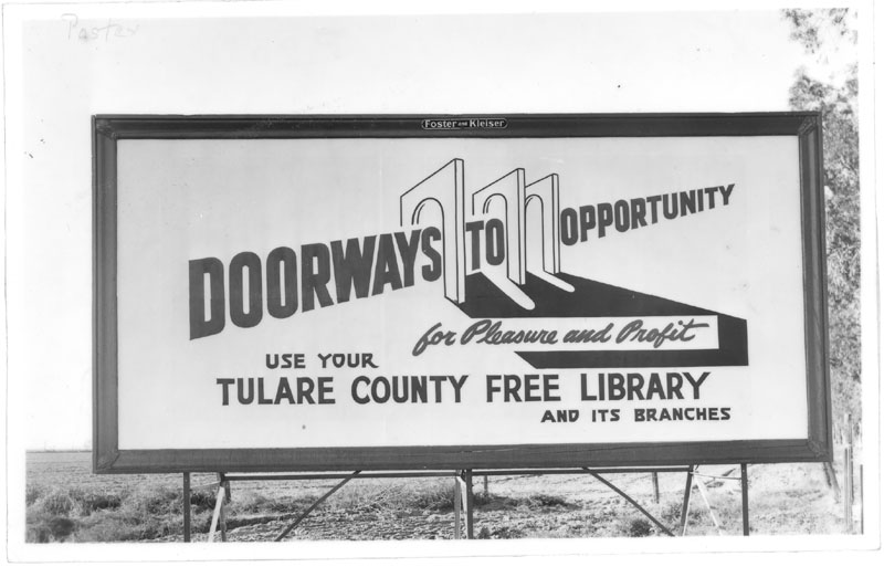
     Tulare County established its own library system in 1910. This added stimulus and encouragement for cities to submit grant applications to the Carnegie Foundation to fund their own buildings. To qualify for the Carnegie grant each city had to meet four requirements: it had to demonstrate need for a library, provide the building site, provide ten percent of the grant amount annually for operational expenses, and provide free service to all.

     The Exeter and Orosi proposals moved forward nearly simultaneously. Both communities had to deal with James Bertram, Andrew Carnegie’s private secretary and fellow Scotsman, who was in charge of the library grant program and who monitored – some might say gave an undue amount of attention and advice to – even a small library

   Exeter’s Carnegie approval was not without some testy correspondence.

     Exeter became an incorporated city in 1911. Two years later, with a population of 1,500 in the city and 1,000 more in the surrounding rural area, Exeter made its first application to the Carnegie Corporation for a library. There was no response. Undaunted, the city made a new request the next year (1914) with a letter of support from the county librarian. This brought an almost immediate offer of $5,000, subject to the above-listed contingencies.

     Soon the first disagreement arose. A controversy over the location of the library was reported to Bertram, and he urged that the whole community be satisfied. He required that the lot be large enough for light all around, plus room for future expansion. Thus, the location at the northwest corner of the new one-block square City Park at the corner of Chestnut and E Streets seemed a natural and was finally chosen.

     When the City Clerk sent Bertram plans from three separate architects, a flurry of correspondence ensued. The first letter from Bertram said, “… it is about as much as we can do to go over one set of plans which has been tentatively decided by a community, without having to take up the points for, or against, three different sets.” He then proceeded to comment on all three, suggesting revisions. He also cautioned that lack of a basement might prejudice against any request for future expansion funds.

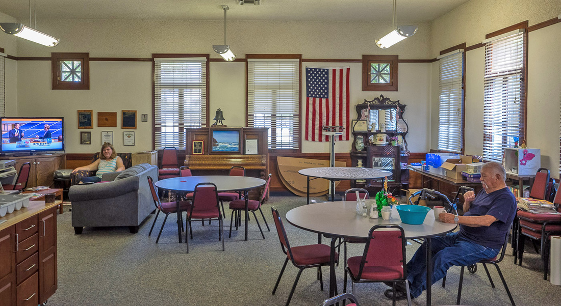
     The Carnegie library, which combined Mission and Spanish Colonial Revival style elements – and yes, it has a basement – was completed in 1916. When it was outgrown, the city built a new, larger library nearby on city park land in 1975. The Carnegie building was then renovated, with the only major revision being the addition of a wheelchair accessible ramp on the back side, and has been used as a gathering place for senior citizens since that time.

     Orosi’s construction was delayed until the end of World War I

     As in many other unincorporated communities, the first lending library in Orosi served the area from a private building, initially in a room of Ryan’s Cyclery beginning in 1911. Three more moves were made, each time to a small room in an otherwise occupied building. Then, in 1914, a group of enthusiastic women organized The Improvement Club for Orosi “for the general welfare of Orosi and vicinity.”

     Through creative fundraising efforts they were able to pay $250.00, one-half the purchase price, for the corner lot at 12646 Avenue 416 (El Monte Way), where they proposed to build a library. The owner took a mortgage for the balance, to be paid in three years, and in 1917 a Carnegie grant of $3,000 was obtained. Construction was delayed because of World War I, but the Improvement Club went on to raise $2,000 more to match the grant funds, and provided some materials and labor. In 1921, the library, the last Carnegie library to be built in California, became a reality.

     Planners of the Orosi building, like those in Exeter and all others, had to deal with James Bertram, who published his “Notes on Library Buildings” in 1911. The leaflet detailed his requirements – that each community obtain the greatest amount of usable space consistent with “good taste in building.” He also advised that the edifices should be plain and dignified structures, not Greek temples.

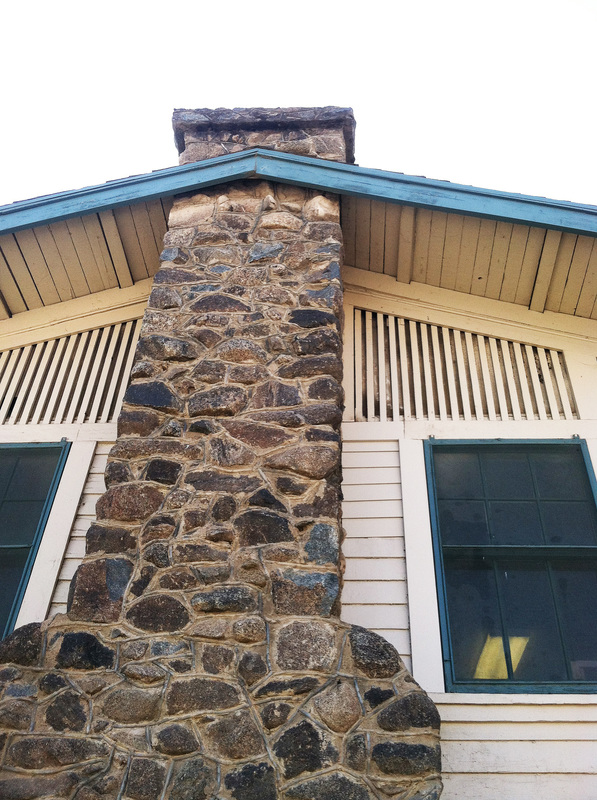
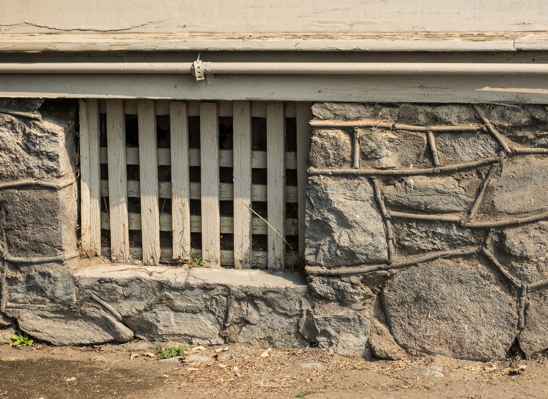
     The Orosi library reflects Bertram’s advice faithfully and is one of only three in California designed in the simple style of a Craftsman bungalow. Key features of the Orosi building were two fireplaces, one at each end of the two main rooms that comprise the T-shaped structure. It has shiplap siding, and all masonry, both inside and out, is random stone with an unusual overlaid tubular grouting.

     Large double-hung windows on all sides allow ample light into the rooms and, in pre-air conditioning days, provided good air circulation. The fireplaces are no longer in use, with the stonework of just the one on the east side still in view.

     In 1978, the Orosi library’s service was expanded to the nearby community of Cutler, so in the county’s library system the branch became known as the Orosi-Cutler Branch Library. It was given a remodel in 2013 with new carpeting and fresh paint. “The Orosi-Cutler Library represents the history of libraries and the strength of the community,” said the county librarian at the time of the branch’s grand re-opening. “The work performed on this renovation will ensure the library will provide the same great service for many more years.”

December, 2015


Orosi Library Slideshow:


Exeter Library Slideshow:


Quotes & More Photos:

“A library outranks any other one thing a community can do to benefit its people. It is a never failing spring in the desert.” — Andrew Carnegie

“A man’s . . . duty . . . is to contribute to the general good of the community in which he lives. . . . To try to make the world in some way better than you found it, is to have a noble motive in life.” — Andrew Carnegie

“It was from my own early experience that I decided there was no use to which money could be applied so productive of good to boys and girls who have good within them and ability and ambition to develop it, as the founding of a public library in a community.” — Andrew Carnegie

“. . . Carnegie . . . believed that in America, anyone with access to books and the desire to learn could educate him- or herself and be successful, as he had been. Second, Carnegie, an immigrant, felt America’s newcomers needed to acquire cultural knowledge of the country, which a library would help make possible.” — Carnegie Corporation of New York

“When you are growing up, there are two institutional places that affect you most powerfully: the church, which belongs to God, and the public library, which belongs to you.” — Keith Richards

“When I got [my] library card, that was when my life began.” — Rita Mae Brown

“When I graduated from high school, it was during the Depression and we had no money. I couldn’t go to college, so I went to the library three days a week for 10 years.” — Ray Bradbury

“I like libraries. It makes me feel comfortable and secure to have walls of words, beautiful and wise, all around me.” — Roger Zelazny

“Books permit us to voyage through time, to tap the wisdom of our ancestors. The library connects us with the insight and knowledge, painfully extracted from Nature, of the greatest minds that ever were, with the best teachers, drawn from the entire planet and from all our history, to instruct us without tiring, and to inspire us to make our own contribution to the collective knowledge of the human species. I think the health of our civilization, the depth of our awareness about the underpinnings of our culture and our concern for the future can all be tested by how well we support our libraries.” — Carl Sagan

“[A library] is a space ship that will take you to the farthest reaches of the Universe, a time machine that will take you to the far past and the far future, a teacher that knows more than any human being, a friend that will amuse you and console you — and most of all, a gateway, to a better and happier and more useful life.” — Isaac Asimov

“Libraries store the energy that fuels the imagination. They open up windows to the world and inspire us to explore and achieve, and contribute to improving our quality of life. Libraries change lives for the better.” — Sidney Sheldon

“There is not such a cradle of democracy upon the earth as the Free Public Library, this republic of letters, where neither rank, office, nor wealth receives the slightest consideration.” — Andrew Carnegie

“I have an unshaken conviction that democracy can never be undermined if we maintain our library resources and a national intelligence capable of utilizing them. — Franklin D. Roosevelt

“Civilized nations build libraries; lands that have lost their soul close them down.” — Toby Forward


Maps & Directions:

Exeter Senior Center Directions:

Address: 301 South E St. (corner of Chestnut and E), Exeter, CA 93221

From Visalia, take Hwy 198 east to Hwy 65 south to Exeter. Turn west (right) onto East Chestnut St. and go three blocks to the corner of South E St.


Maps & Directions:

Orosi Library Directions:

Orosi Address: 12662 Ave. 416 (corner of El Monte Way and Eddy Street), Orosi, CA 93647-2018

From Visalia, take Hwy 63 north to Orosi. Take Ave. 416 (El Monte Way) west (left) to 12662 Ave. 416, at the corner of Eddy St.  Library is on the north side of El Monte Way.


Site Details & Activities:

EXETER SENIOR CENTER:
Environment: Valley, downtown Exeter; this Carnegie library has become the Exeter Senior Center
Activities: history, photography; for seniors (age 60 or older): lunch at 11:30, computers, crafts, exercise, games, monthly health checks, socializing, talks, etc.
Open: Monday-Friday 8:30 a.m.-1:30 p.m. (closed weekends); seniors lunch at 11:30
Site Steward: CSET, 1-800-321-2462; Site Manager: Benny Rodriguez, 559-592-5960; email csetseniorservices@cset.org
Opportunities: volunteer
Links:
 
OROSI-CUTLER BRANCH LIBRARY:
Environment: Valley, downtown Orosi, historic Carnegie lending library
Activities: borrowing books and other media; board games, Take and Make crafts on Wednesdays, computers (four public internet stations), educational activities, Music Day at 2:00 p.m. on Fridays, reading, Storytime at 11:00 a.m. on Thursdays, performances, etc.
Open: Wednesday-Friday, 10:00 a.m. -1:00 p.m. and 2:00 p.m.-6:00 p.m. (closed Saturday-Tuesday)
Site Steward: Tulare County Library, Orosi-Cutler Branch, 559-591-5830
Opportunities: volunteer
Links:


Click on photos for more information.

The Story of Lake Kaweah

by Paul Hurley

     Nature instigated the creation of Lake Kaweah. The story of this Tulare County treasure chronicles a classic struggle between nature and humanity, in which nature repeatedly exerts its power and humanity stubbornly shrugs it off.

     The conditions that led to the creation of Lake Kaweah might be unique in North America. From its headwaters at an elevation of 12,000 feet in the Sierra Nevada the Kaweah and its tributaries create one of the steepest cataracts on the continent. Its waters drop to the San Joaquin Valley floor more than two vertical miles over a horizontal distance of 30 miles if it were drawn as a straight line on a map.

     When tame, the Kaweah is a life-giver. Indigenous people thrived along this river for centuries before Europeans arrived. Cattleman Hale Tharp started a ranch at the confluence of the Kaweah River and Horse Creek in 1856 and lived there until his death in 1912. Prospectors, ranchers, and homesteaders pursued prosperity along the forks of the river and into its canyons and fertile flood plains.

     But the Kaweah has a wild side. When conditions are right — warm rain melting mountains of snow or sudden torrential deluges cascading down the steep slope — it is a natural flood maker that has produced a devastating inundation on average about every 10 years.

     The river’s first documented flood, in 1862, was so powerful that it created a new channel, the St. John’s River, and wiped out a new town built along a small Visalia creek. Visalia itself was immersed in four feet of water, and people used boats to get around. In 1867, it began raining on November 1 and continued almost non-stop until late December. People in Visalia again got around in boats, not for the last time. The river flooded in 1877, 1884 and 1890.

     In June, 1906, heavy winter snows rapidly melted under a spring heat wave and warm rains. The waters rose to a height of two feet on Visalia’s Main Street and stayed that way for two weeks. The Visalia Times-Delta suggested that the river be dammed to prevent future flooding. That was the first time it was proposed to build a dam, but it would not be built for another 56 years. A flood in 1914 again stirred talk of a dam, but the idea was easily quelled when the next two decades were relatively dry.

     Then came the flood of 1937. It caused more than $15 million in damage to crops and property. More than 80 people on the valley floor died. Finally, some concrete steps were taken to dam the river. The U.S. Army Corps of Engineers determined the best spot for the dam was near Lemon Cove at Terminus Beach, a popular recreation spot since the 19th century.

Horse Drawn Wagon in Visalia, 1955 Flood

     The Kaweah was only one of many rivers in the nation to flood in the 1930s. Congress passed, and President Franklin D. Roosevelt signed, a series of flood control acts, including ones in 1937 and 1944. The 1944 act was directed mainly at flooding on the Missouri River, but it also authorized the building of Terminus Dam.

     Although the Kaweah flooded again in 1943, 1945 and 1950, work on Terminus Dam stalled because of opposition by ranchers downstream over their water rights. The flood that broke the logjam of resistance arrived in 1955.

     Snowfall had been heavy early that winter, and then warm, heavy rain began falling on the evening of December 22. Twelve inches of rain fell in 12 hours. The Kaweah soon crested, and water began barreling downstream into the valley. The volume rose to 85,000 cubic feet per second, wreaking destruction on Three Rivers, Farmersville, and Visalia. Water in downtown Visalia rose to more than five feet deep, and boats were used again. Floodwaters affected more than 100,000 square miles. Damage was estimated at $12 million to $20 million.


     The 1955 flood galvanized the political will to build the dam. Newspapers demanded action. Local governments sent lobbyists to Washington, D.C. and pushed Congress to appropriate the money. The matter of ranchers’ water rights was set aside.

     In 1956, President Dwight D. Eisenhower signed the legislation that authorized construction, and money was appropriated in 1958. Construction began in February, 1959, and the project was completed in November, 1961, at a cost of $19,375,000. Terminus Dam was dedicated on May 18, 1962, and began operations in June, 1962.

     Terminus Dam/Lake Kaweah has staked its claim as Tulare County’s most successful public works project. At the dam’s 50th anniversary, the Army Corps of Engineers estimated that Terminus had prevented damage that would have totaled $373,225,000.

     But while the dam had prevented or minimized flood damage, it still could not prevent all downstream flooding. A “50-year” flood in 1997, for example, did not breach the dam, but the reservoir was filled and emptied twice. It was then decided to increase the lake’s capacity and the protection capability of the dam.

     In 2004, the Corps installed the world’s largest fusegates atop the dam. Six 21-foot high structures essentially raised the height of the dam to withhold a 1,000-year flood event (a flood so great that its statistical likelihood is once in 1,000 years). The enlargement project cost an additional $48 million and included funding from federal, state, and local agencies.

     Flood control was the initial motivation for building Terminus Dam, and the primary purpose of Lake Kaweah continues to be flood control. But it has also become an important installation for water conservation, agricultural irrigation, power generation, and recreation. Boating, water-skiing, swimming, fishing, horseback riding, hiking, and camping attract 40,000 visitors a year.

     Terminus Dam has tamed the capricious and dangerous Kaweah River. In extremely dry winters, it is nearly possible to see the river as it used to flow through the lake’s valley. It is much harder to imagine the devastating flood flows that tormented residents from Three Rivers to Tulare Lake. With the taming of nature, the Kaweah’s waters have been harnessed. It has been decades since anyone needed a boat to get around downtown Visalia.

March, 2015


                                                          For a related article, see the Kaweah Delta Water Conservation District


Slideshow:


Quotes & More Photos:

The Visalia Times-Delta in its 01/20/56 “FLOOD” edition commemorating the December, 1955, disaster, published the headline: “Terminus Dam, still only paper project after 11 years, would have saved us.” The Exeter Sun newspaper noted that the cost of the damage from any one of the previous four floods would have equaled the cost of the construction of Terminus Dam.

Terminus is an earthen core dam that rises 250 feet high. The length of the dam at its crest is 2,375 feet. Lake Kaweah inundates about 1,945 acres at maximum pool and floods nearly five miles of river.

With the 2004 enlargement, the capacity of Lake Kaweah was increased to 185,630 acre-feet. (One acre-foot is enough water to flood one acre to a depth of one foot, or about 326,000 gallons.)

Irrigation water from Terminus is administered by the Kaweah Delta Water Conservation District, which provides irrigation service to dozens of water users in 384,000 acres of farmland downstream of the dam.

In 2004, the hydroelectric power plant at Terminus Dam was retrofitted to increase its annual production to 21 megawatts as water is released for flood control and irrigation.

The Kaweah Heritage Visitor Center on Lemon Hill offers visitors dramatic vistas of the lake and fusegates as well as information about its history, archaeology, geological features, and wildlife.

Largemouth bass, crappie, bluegill, catfish and trout are popular game fish caught at Lake Kaweah. The California Department of Fish and Game continues to stock the lake with game fish, including trout.

Horse Creek campground is a popular camping destination. The area also includes more than five miles of trails for hiking, dog-walking, and horseback riding.

The lake has three, three-lane boat-launch ramps. Water skiing and personal watercraft are permitted on the lake. Slick Rock Recreation Area is suitable for swimming even at low flows.

“The rock face of Terminus Dam loomed beyond the flat across the Kaweah canyon, the only straight line this side of Blue Ridge and the Great Divide, its control tower and space age hydro plant and poles as the last attempt to train and harness the whims of weather like a dependable horse under the wildest of circumstances.” — John Dofflemyer


Maps & Directions:

Directions:

Coordinates: 36.4166° N, 119.0034° W


From Visalia, go about 20 miles east on Hwy 198 and follow the signs for the lake facilities.


Site Details & Activities:

Environment: Foothills, dam, lake, marina, campground, visitor center
Activities: biking, birdwatching, boating and boat rentals, camping, disc golf (via Slick Rock parking area), dog walking (on 6′ leash, scoop poop), educational activities, fishing, hiking, horseback riding, kayaking, marina, photography, picnicking, sailing, swimming, Kaweah Heritage Visitor Center (exhibits, bookstore, gifts, free loaner life vests for kids), waterskiing, wildflower and wildlife viewing. Note: Some activities are seasonal.
Open: daily ($10 fee for day use, $40 for annual pass, $20 for campsite, $40 for double site; make reservations through www.recreation.gov – see Link below); check with Site Steward for most current fees.
Site Steward: U.S. Army Corps of Engineers, 559-597-2301; Kaweah Heritage Visitor Center, open 10-4:00 M-F, 559-597-2005 – USACE in cooperation with Education Partner Sequoia Parks Conservancy; marina and boat rentals, 559-597-2526; Tulare County Boat Patrol Office, 559-733-6218 (non-emergency; call 911 if emergency); campground reservations, 1-877-444-6777 (see Link below before online reservations).
Opportunities for Involvement: volunteer
Links:
Books: Floods and Droughts in the Tulare Lake Basin, by John T. Austin (Sequoia Natural History Association, 2013)
Floods of the Kaweah, by Mark Tilchen (Sequoia Natural History Association, 2009)


Click on photos for more information.

Ledbetter Park — Historic Hub of Cutler-Orosi

by Laurie Schwaller

     In 1971, over 30 years had passed since Tulare County had last established a park for its residents (in Pixley, in 1938). But in 1971, thanks to Lee and Hazel Ledbetter of Orosi, and many dedicated local volunteers, that was about to change.

     The Ledbetter family forebears had arrived in Tulare County in 1876 by emigrant train, and soon established a tradition of farming, civic engagement, service, and generosity. In 1879, Lee’s grandfather James purchased the land which became the site of Orosi. Later, he traded that parcel for another half a mile south of the townsite, where he spent the rest of his life.

     Education and young people were important to James. In 1880, he was instrumental in organizing on his property the first school for the local pioneer children in what was then known as Sand Creek. His own wife was unable to read or write, but since then four Ledbetter women have taught successively in the Cutler-Orosi community — for almost 150 years. One of them was Hazel Church, who married Lee Ledbetter in 1912, when she was teaching school in Orosi.

     In the family tradition, Lee Ledbetter farmed and lived in the Cutler-Orosi area all his life. He was also a county tax assessor. While Lee and Hazel had no children of their own, Hazel taught and often served as principal in the local schools for 41 years. Both were philanthropists, who gave generously to their community in many ways. But perhaps their greatest and most lasting gift was the land for Ledbetter Park.

     In 1970, the couple began talking with then County Supervisor Fred Batkin about their desire to donate 12 acres of their property to the county for the creation of a neighborhood park to serve both Cutler and Orosi.

     That September, the Board of Supervisors authorized Batkin to work with County Park Superintendent Merle Harp, Chief Administrative Officer Dave Ogden, and Planning Director Don Woolfe to develop the park, which would be located at the southwest corner of Avenue 408 and Highway 63.

Ledbetter Park Committee Members

     In April, 1971, the Board of Supervisors gratefully accepted the deed to the parkland from the Ledbetters, calling their gift “another milestone in a long path of community service that the Ledbetters have given to the Cutler-Orosi community” and “an act of generosity which will benefit the Cutler-Orosi community for many years to come.” Supervisor Batkin announced that the park would be seeded with grass immediately and interested people would be asked to help devise a master plan for it.

     The Ledbetters, along with the Cutler Latin American Club (CLAC) and a Cutler-Orosi park committee chaired by Batkin and Orosi Union High School principal Jack Mann, worked with Superintendent Harp to plan the site. Concurrently, the County decided to build a new fire station there: A firehouse would keep responsible people on the premises 24 hours a day, and the money saved by not having to buy land for the station could be used for landscaping the park.

     By early 1973, bids had been let, and construction of the fire station and a park restroom was about to begin. A sprinkling system had been installed, and some Monterey pines had been planted. The committee appealed to Cutler-Orosi area clubs and organizations for donations to cover more trees, shrubs, and other park construction items.

     While elements in the park have changed through the years, the original grand design included parking for over 100 cars; a baseball field; a multi-use sports area for tennis, volleyball, and basketball; plus a quieter area for horseshoes and croquet to meet a broad range of recreational interests. Two picnic arbors and 25 picnic tables would be installed, and a bandstand had been designed, in hopes that it could be completed before the annual spring Tomato Festival organized by the Cutler Latin American Club.

     On July 3, 1973, following a steak barbecue sponsored by the Latin American Club, the new park was officially dedicated to the public. The ceremony was held in the new fire station, which already provided welcome shade and was scheduled to open in August. Master of ceremonies Ed Tellalian, Orosi High School civics teacher, read letters of congratulation from local, state, and national politicians, including one on behalf of President Nixon from the White House.

     Although the tennis and croquet courts never got built, the bandstand/stage was ready for the 1974 Tomato Festival’s festivities, and much has been added to Ledbetter Park in the decades since its dedication. From its conception, the Cutler Latin American Club has contributed countless hours of labor, constructed many improvements (including the bandstand), carried out maintenance work, and held dozens of community events there.

     The County’s Cutler-Orosi Senior Center, in 1984, and a County Sheriff’s substation, in 2007, have joined the fire station in offering essential services to their communities. In June, 2003, the Little Tikes fire engine playground equipment was installed. Volunteer firefighters from the real fire station helped County Parks employees put the fire engine structure together to inspire kids’ imaginations for play and to serve as a memorial to the firefighting heroes of the 9/11 attacks on New York City in 2001.

     In 2008, the Cutler-Orosi Community for Youth Organization, working with County Parks, the Cutler-Orosi School District, the Stewardship Council, and the Tony Hawk Foundation, raised the funds to build a skate park next to the Sheriff’s substation at Ledbetter Park. Spearheaded by former school district superintendent Frank Murphy, the campaign, helped by the County, which contributed matching funds, covered the total project cost of $100,000.

     Through the years, Ledbetter Park has served as its communities’ hub. It was the destination of the annual parade of the Tomato Festival (eventually re-named the Pre-Harvest Festival and then the Spring Festival). It was the venue for its booths and carnival, and its bandstand was the stage for announcements, music, and other entertainment. The park has hosted major concerts, firefighters’ training exercises, Summer Night Lights events, health fairs, thousands of basketball and baseball and soccer games, picnics and barbecues, celebrations of all kinds, and endless hours of safe and healthy play.

     Long-needed upgrades to the parks’ accessibility features and its electrical and irrigation systems were completed in 2018, helping to prepare this vital green and open space for its next 50 years of service to the enjoyment and well-being of the people of these north county communities.

December, 2018


Slideshow:


Quotes & More Photos:

Lee Ledbetter’s father, Addis Goulder Ledbetter, worked with his father (James) and brother in farming and teaming. He served for twelve years as a school board trustee, including eight as president, and was also Superintendent of the First Presbyterian Church’s Sunday school.

A.G. and his wife, Mary, along with another couple, gave the land to create the town of Cutler in 1897.

Lee and Hazel visited patients at the County’s Sequoia Home for the Aged and arranged birthday parties for the seniors. They served on the board of the Tulare County Tuberculosis Association and the Humane Society. They gave scholarships, and Hazel served for 15 years as secretary of the Orosi-Orange Cove Farm Bureau, of which they were members.

“In deeding the land to the county, Mr. and Mrs. Ledbetter expressed the hope that it would be developed into a ‘Miniature Mooney’s Grove’ for the enjoyment of family type activities.” — Dinuba Sentinel, October 19, 1972

“Noting that the site was the original Ledbetter homestead upon which Mr. Ledbetter was raised as a boy before the turn of the Century, County Supervisor Fred Batkin says that every effort is being made to help the Ledbetters realize their dream which has also become the dream of the people of the community.” — Dinuba Sentinel, October 19, 1972

“Ed Tellalian . . . read letters of congratulation from Assemblyman Gordon Duffy, State Senator Howard Way, and a letter on behalf of President Nixon from the White House. Congressman Bob Mathias wrote: ‘This very generous contribution by Mr. and Mrs. Ledbetter is a very special and selfless act.'” Mrs. Kandy Mimura thanked a number of individuals in the Cutler-Orosi Community for their donations to the park.” — Dinuba Sentinel, July 3, 1973

“The Cutler Latin American Club was established in 1956 in the pursuit of meeting the needs of the people in Cutler and Orosi. The Club’s mission is simple: ‘Get the Job Done.’ The club’s most noticeable projects are visible at Ledbetter Park.” — Pre-Harvest Festival (formerly Tomato Festival) program, April 26, 2003

“In cooperation with the county, CLAC has built and paid for the stage, planted trees, installed electrical towers, baseball diamond, fenced the perimeter of the park, installed horse shoe pits, installed modern playground equipment for the children; finally curb and gutters have been installed in front of the property with two entrance approaches. Scholarships for college bound students have been granted in the tens of thousands of dollars throughout the years.” — Pre-Harvest Festival program, April 26, 2003

“Children will be able to pretend they are firefighters, as they watch men and women nearby volunteer to risk their lives to protect their community, on Ledbetter Park’s new fire engine playground equipment. Last week the County started installing a state of the art Little Tykes [sic] fire engine, which is nearly as big as the real thing. This is the first one installed on the West Coast. The very first model went to a park near the World Trade Center in New York City.” — Dinuba Sentinel, June 19, 2003

[The] Lyons [sic] club, a Veterans group, churches and Cutler-Orosi Latin American Club are very involved. They use the park and invest in it. For example, these groups built the stage and the backstop for the baseball field. Each year four to six very large community events are held at Ledbetter Park, and during the summer, the soccer field is used every day.” — Tulare County Parks Advisory Committee minutes, report by Neil Pilegard, Tulare County Parks and Recreation, April 21, 2016

“[The Cutler-Orosi Latin-American] club, along with the community raised $10,000 to provide a stage for special activities. Driving the tractor is Pete Marquez, who does a super job maintaining the park. Pete says,”It’s just like taking care of my own back yard.” The Cutler-Orosi Latin-American Club helps to sponsor the Tomato Festival every year.” –1982 Cutler-Orosi Tomato Festival Program

“We are designed to be outdoor creatures. We need to be outside, not huddled around the TV set.” — Andrew Duxbury

“A growing body of evidence suggests that exposure to nature is an essential component of human health and well-being. The mere sight of trees . . . lowers levels of the stress hormone cortisol and decreases blood pressure.” — Katherine Ozment


Maps & Directions:

Directions:

Address: 45779 Road 128, Cutler/Orosi, CA; located 1 mile NW of Cutler on Road 124/Hwy 63.

From Visalia, take Hwy 63 north to 1 mile NW of Cutler; park will be  on your left (west).


“The outdoors is the very best place for preschoolers to practice and master emerging physical skills” — Early Childhood News


Site Details & Activities:

Environment: Valley, near Cutler; 11 acres; trees and lawns
Activities: baseball/soccer field, 2 full basketball courts, birdwatching, dog-walking (on leash; scoop poop), picnicking (arbors by reservation), photography, playground, skate park, stage/bandstand, veterans memorials
Open: daily Thursday-Monday for day use (closed Tues. and Wed.); Summer (June 1-September 8): 8:00 a.m.- 8:00 p.m.; Fall (Sept. 9 – Oct. 31): 8:00 a.m. – 5:00 p.m. on Mon., Thurs., and Fri.; 8:00 a.m. – 7:00 p.m. on Sat. and Sun.; Winter (Nov.-Feb.): 8:00 a.m.-5:00 p.m.; Spring (Mar.-May): 8:00 a.m.-5:00 p.m. on Mon., Thurs., and Fri.; 8:00 a.m.-7:00 p.m. on Sat. and Sun. No entrance fee. Reservations for picnic arbors are taken throughout the year.
Site Steward: Tulare County Parks and Recreation Division, 559-205-1100; same number for reservations. Contact Site Steward for current fees and open days and hours.
Opportunities for Involvement: donate, volunteer

Click on photos for more information.

The Story of Kings Canyon National Park

by William Tweed

     Although only about twenty percent of Kings Canyon National Park falls within Tulare County, the saga of how this superb mostly wilderness national park came to be is very much a Tulare County story. Tulare County residents, in fact, played key roles in the decades-long campaign to create the park.

     Like both Sequoia National Park and Sequoia National Forest, the area that is now within Kings Canyon National Park was placed within the original Sierra Forest Reserve in 1893. In 1908, that vast reserve was broken apart and its several portions re-designated as national forests. After that date, what later became the Tulare County portion of Kings Canyon National Park fell within the newly created Sequoia National Forest.

     From the beginning, although both were conserved as public lands for the public good, areas identified as national forests and national parks drifted in very different directions. National Forests fell under the control of the United States Forest Service, an agency in the U. S. Department of Agriculture. Forest Service management policies emphasized using land for public benefit. Potential uses included grazing, mining, and logging – all to be carried out in a responsible manner. Agency policy also emphasized dams, reservoirs, and hydroelectric development, undertakings that seemed to many to be well-suited for the mountain gorges of the Kings River portion of the Sierra Nevada.

     At the same time, areas designated as national parks evolved to have their own unique mission. In 1890, Congress had created Sequoia and General Grant national parks in Tulare County as well as Yosemite National Park to the north. All three were envisioned as nature preserves – places where natural features would be left undisturbed and human use would be limited to recreation and inspiration. Management of these federal parks fell to the Department of the Interior.

     Each of these two visions reflected the hopes and dreams of its supporters, and Congress eventually created a federal agency to manage each system. The Forest Service came into existence in 1905, and the National Park Service, an Interior Department agency, was created in 1916. The competing land management visions represented by the two agencies both made sense. Clearly, America had lands that ought to be used for the benefit of society as well as special places that ought to be protected for their beauty. Inevitably, however, these two agencies, each with its own mission, sometimes set their sights on the same places. The Kings River portion of the High Sierra was such a place.

     The battle over the fate of the Kings Canyon region began early. The men who had led the campaign to create Sequoia National Park in 1890 dreamed almost from the beginning of enlarging the park to take in more of the spectacular High Sierra. They were particularly interested in two scenic regions: the Kern Canyon/Mt. Whitney area immediately to the east of the 1890 boundaries of Sequoia National Park and the Kings Canyon region to the northeast of the existing park.

     The Sierra Club, in those days a San Francisco Bay Area-based mountaineering organization, began taking large groups into these two areas in 1902, when it brought over two hundred persons into then-remote Kings Canyon for several weeks. The club returned, always with large groups, to either the Kings Canyon or the Kern Canyon in 1903, 1906, 1908, 1910, 1912, 1913, and 1916. These trips exposed hundreds of people to the beauty of these areas and laid the foundation for political action leading towards their protection.

     In 1915, the Department of the Interior recruited Chicago businessman Stephen T. Mather to take over administration of the national park system and lead the campaign to create a national park agency – the National Park Service. Mather, a native of California, had strong ties to the Sierra Nevada and had taken part in the Sierra Club’s 1912 outing to the Kern Canyon. On that trip, like many others, he had become convinced that Sequoia National Park must be enlarged. When he joined the Interior Department in 1915, he put this enlargement high on his list of goals. In the summer of 1915, Mather organized an overtly political pack trip into the Kern Canyon/Mt. Whitney region. Visalians George Stewart and Ben Maddox met the group when it first assembled in Visalia and made clear their support for park enlargement.

     Mather became the first director of the newly created National Park Service in 1916, and in this role he continued his efforts to enlarge Sequoia National Park. The Forest Service prized the area highly, however, and worked hard to keep both the Kern Canyon/Mt. Whitney and Kings Canyon regions within the Sequoia National Forest. Finally, after a decade of contentious political debate, a compromise was struck. In July 1926, Sequoia National Park was more than tripled in size to include the Kern Canyon and Mt. Whitney areas. Kings Canyon, however, remained within the national forest systems and open to development.

High Country Horsebackers and Pack Stock

     The Forest Service, pursuing its mandate to find uses for its lands, began to make plans for the development of the Kings River region. In the late 1920s, in cooperation with the State of California, the Forest Service approved the construction of a modern highway into the region, and the following year the Federal Power Commission issued a report making clear the potential of the area as a locale for reservoirs and power plants. As early as 1920, the city of Los Angeles had also filed claims for dam sites and reservoirs on the Kings River. There were even rumors that the Los Angeles interests intended to tunnel under the Sierra Crest to divert Kings River water eastward into its Owens Valley Aqueduct.

     All these proposals eventually reinvigorated those who still wanted to place the Kings Canyon and its surrounding high country within a national park. In the middle 1930s the Sierra Club resumed its campaign. This time the goal was not to add the area to Sequoia National Park but rather to create an entirely new park centered on the great glacial canyon of the Kings River. Local opinion split between those who wanted dams and those who thought the area worth protecting for its natural beauty and spectacular scenery. Nearly everyone in Central California agreed, however, that allowing the water to go to Southern California would be a mistake.

     Eventually, the fight over whether there should be a national park in the Kings Canyon region came down to a political dispute between two local elected officials. The U.S. congressman from Fresno, a Republican named Bud Gearhart, led the campaign to create the park. He was opposed by Representative Alfred Elliott of Visalia, a Democrat.*  The Sierra Club sided with Gearhart, and the Forest Service worked hard to help Elliott. The final vote could have gone either way, but Elliott overplayed his hand when he charged that Gearhart was accepting illegal donations from national park supporters. Gearhart, in an impassioned speech on the floor of the House of Representatives, successfully demolished Elliott’s accusations, and the bill passed the House shortly thereafter.

     President Franklin Roosevelt signed the legislation creating Kings Canyon National Park in March 1940. The political deal that led to the creation of the new national park also committed the federal government to building a dam on the lower Kings River at Pine Flat. That dam was constructed between 1947 and 1954.

     The highway into Kings Canyon that the Forest Service commissioned in the late 1920s finally reached the canyon floor in 1939. Today, as California State Route 180, that route provides a scenic drive into the heart of Kings River country. The highway ends just past Cedar Grove on the floor of Kings Canyon. The rest of the main section of Kings Canyon National Park, including all of it that falls within Tulare County, remains as un-roaded wilderness. It took half a century, but the 1890 dream of Visalian George Stewart that the Kings Canyon region should be part of a national park eventually did come to pass. Today, Kings Canyon National Park stands as the great wilderness park of the Sierra Nevada.

     * Observers of contemporary politics in Central California may be surprised to read of a Republican leading a campaign to create a national park while a Democrat fought against the park. Over the decades, the two parties have changed positions several times on these matters. The greatest presidential advocate ever for public lands, for example, was Republican Theodore Roosevelt, and both the National Environmental Policy Act and the Endangered Species Act were signed by Republican Richard Nixon.

May, 2014

                                                                      Now read:  A Trip to the Great Canyon of the Kings

Slideshow:


Quotes & More Photos:

“Thousands of tired, nerve-shaken, over-civilized people are beginning to find out that going to the mountains is going home; that wildness is a necessity; and that mountain parks and reservations are useful not only as fountains of timber and irrigating rivers, but as fountains of life.” – – John Muir, 1901

“When one looks at the great trailblazers of the American preservation movement, many names grace Kings Canyon. John Muir, of course, stands at the summit with veneration. At his side stands Little Joe LeConte . . . .  There were countless other giants, among them [Theodore] Solomons, [Walter “Pete”] Starr [Jr.], [Stephen] Mather, [Horace] Albright, [William] Colby, [Ansel] Adams, and [David] Brower, all of whom heeded the call to preserve and protect the best of the American earth.” — Gene Rose

“[All} of this wonderful Kings River region, together with the Kaweah and Tule sequoias, should be comprehended in one Grand National Park. . . . Let our law-givers make haste before it is too late to set apart this surpassingly glorious region for recreation and well being of humanity, and all the world will rise up and call them blessed.” – John Muir, 1891

“[I]n 1905, [Gifford] Pinchot orchestrated the transfer of the [forest] reserves from the Interior Department to the Department of Agriculture — an event usually recognized as the genesis of the modern Forest Service . . . .  An advocate of utilitarian conservation, [Pinchot] believed that all the resources on the public lands should be available for use and development — as long as those uses were sustainable . . . centered on the magnanimous slogan, ‘the greatest good for the greatest number and in the long term.’ Multiple use was his byword.” — Gene Rose

“It was a treasure house of riches far greater than any hidden beneath the surface. Cutting the sky the most colossal of all Sierra crests reared its adamantine spires, walling a world of can[y]ons, peaks, dashing ice torrents, unassailable heights, green parks bordered and starred with exquisite Alpine flowers, which fringed even the snow banks . . . awful, austere, beautiful in its scarred and chaotic majesty. A world to behold: no pen nor brush may picture it. The transcendent glory of the mighty Sierra Nevada.” — Frank Dusy

“[I]n 1912, [Stephen] Mather, who became the first director of the National Park Service, made the first of his own mountain trips in the Sierra [where] he met Colby and other Sierra Club members. One of the highlights of Mather’s life was the opportunity to have a long talk with the legendary [John] Muir . . . [who] . . . interested him in another of his vital concerns—the addition of vast majestic Sierra areas to Sequoia National Park or, better still, the creation of a new park between Yosemite and Sequoia.” — Horace Albright

“The Mather Mountain party . . . gathered for the first time on . . .   July 14, 1915 in Visalia, California. . . . [A]t the Palace Hotel . . . a dinner party was held that first night, hosted by local businessmen. . . . After dinner, [George] Stewart [Visalia attorney and long-time editor of the Visalia Weekly Delta] gave an informative talk on the giant sequoias. [Ben] Maddox [owner and publisher of the Visalia Daily Times] followed with a summary of the proposed enlargement of Sequoia National Park. . . . Robert Marshall [Chief Geographer of the U.S. Geological Survey] . . .gave a rousing pep talk encouraging the people of Visalia to promote a bigger and better Sequoia National Park. Then Mather sent his guests off to the last indoor beds they would see for several weeks.” –Horace Albright and Marian Schenck

“[T]he Sequoia-Whitney country is God’s own country, . . . and the mountains assure me that . . . the [Mather Mountain] . . . party will sing of the ‘Greater Sequoia’ until all the world shall have heard them and will unite to preserve this really wonderful region for the ‘benefit and enjoyment of the whole people’ for all time.” — Robert Marshall (1915)

“The immediate effects of the mountain party were local: elimination of toll roads; publicity creating strong support in the San Joaquin Valley for extension of Sequoia or the creation of a new park to encompass the Kings and Kern canyons; purchase of the Giant Forest, the heart of Sequoia; fifty thousand dollars from the federal government; twenty thousand from Grosvenor and the National Geographic Society; precedent for private parties to purchase lands and donate them to the government. . .; and impetus for the U.S. government to aid in the completion of the John Muir Trail.” — Horace Albright after Mather Mountain Party expedition

“[T]he publicity about the mountain party, through newspapers and magazines, focused attention on the parks and the need for a national park service. The newly found belief in conservation and the concept of “wilderness” was generated from influential men in our group” — Horace M. Albright after Mather Mountain Party expedition

“Think of Sequoia as incomplete until the Kings River area is added, until Mt. Whitney and its soaring granite appendages are under the care of a national park, until the magnificent Giant Forest is out of private hands.” — Stephen Mather

“Maybe [creating the National Park Service is] like constructing a house . . . I have no blueprints and no architect. Only the ideals and principles for which the Park Service was created – to preserve, intact, the heritage we were bequeathed.” — Horace M. Albright, September 1917


Maps & Directions:

Directions:

Coordinates: 36° 47′ 21.41″ N, 118° 40′ 22.3″ W36.78928, -118.67286


From Visalia, take Hwy 198 east via Three Rivers to enter Sequoia National Park and proceed on the Generals Highway to the Grant Grove area in Kings Canyon National Park.  

Alternately, take Hwy 63 north from Visalia to Hwy 180 east to enter the Grant Grove area of Kings Canyon National Park.

From Grant Grove you can continue 30 miles east on Hwy 180 down the canyon to the Cedar Grove area and 6 more miles to Road’s End. 

Note the possibility here for a fine loop trip.

Note: Vehicles longer than 22 feet should take Hwy 63 to Hwy 180. The road between the Foothills Visitor Center (east of Three Rivers) and the Giant Forest Museum is too steep, narrow, and winding to accommodate longer vehicles.


Site Details & Activities:

Environment: Mountains, Foothills, forests, giant sequoias in Grant Grove area
Activities: backpacking, bicycling (on-road only), birdwatching, botanizing, camping, educational activities, fishing (license required), hiking (all-abilities-accessible trail at Grant Grove and Zumwalt Meadow), horseback riding, horse packing, photography, picnicking, scenic drives, snow play (seasonal), wildflower and wildlife viewing. Dogs allowed (on leash) in campgrounds and parking areas only; not allowed on trails.
Open: General Grant Grove Section open daily, year-round, depending on weather (snow may temporarily close roads); Canyon section typically open late April into November, depending on weather. Check Parks’ Road Conditions page or call (559) 565-3341 (press 1, 1, 1). National Park entrance fee.
Site Steward: Sequoia and Kings Canyon National Parks; 559-565-3341 (559-565-3766 for wilderness permits); www.nps.gov/seki/contacts.htm
Opportunities for Involvement: donate, volunteer
Links:
Books: 1) Challenge of the Big Trees -The Updated History of Sequoia and Kings Canyon National Parks, by William C. Tweed and Lary M. Dilsaver (University of Virginia Press, 2017)
2) Images of America – Kings Canyon National Park, by Ward Eldredge (Arcadia Publishing, 2008)
3) Kings Canyon – America’s Premier Wilderness Park – A History, by Gene Rose (Sequoia Natural History Association, 2011)
4) The Mather Mountain Party of 1915, by Horace Marden Albright and Marian Albright Schenck (Sequoia Natural History Association)
5) King Sequoia: The Tree That Inspired a Nation, Created Our National Park System, and Changed the Way We Think about Nature, by William C. Tweed (Heyday, 2016)

Click on photos for more information.

The Story of the Kaweah Delta Water Conservation District

by Terry Stafford

     If there’s one thing the residents of Tulare County understand, it’s the importance of water. The fact that there is sometimes too much or often too little of it is the norm for our most unpredictable climate. Water is the lifeblood of Tulare County’s agricultural economy and communities. The heart and the arteries that regulate and move that lifeblood to these critical components in the Kaweah River watershed is a water management concern that has been evolving for decades — the Kaweah Delta Water Conservation District.

     Commercial farming began in the San Joaquin Valley in the early 1800s. Although the valley averages only ten inches of rain per year, the meltwater from the Sierra Nevada’s snow pack enabled farmers to irrigate their crops, greatly expanding production.

     Shortly after California became a state, in 1850, its legislators adopted laws to insure riparian water rights were maintained, allowing property owners along rivers and streams to divert water for their own use. But relatively few farms were close enough to the rivers and streams to take advantage of them; and often this surface water was available only during the wet season. As the population increased, and farming exploded, water began to be collected and funneled to key distribution points through a vast network of channels, canals, and ditches. However, there was no “beneficial use” mandate at the time for farmers, and the water could essentially be wasted at the landowners’ discretion, and often was. Soon the farmers were also pumping water from the valley’s underground aquifers, to meet ever-greater demand in the dry season. Aquifer levels dropped alarmingly, forcing the ever-growing population to recognize that local water was a very precious and limited resource.

     In 1927, California’s Water Conservation Act was adopted, to better manage the state’s water. The Act allowed for the establishment of Water Conservation Districts across the state, and local citizens were quick to respond. The Kaweah Delta Water Conservation District (KDWCD), encompassing 337,000 acres of Tulare County and parts of Kings County, was voted into existence that same year.

     Since its inception in 1927, KDWCD has worked hand in hand with the U.S. Army Corps of Engineers and the many area irrigation districts and ditch companies on important matters such as flood control; development of the Terminus Dam (forming Lake Kaweah) for flood control, irrigation, and power generation; and ensuring that the agricultural needs of the valley are met by maintaining over 200 miles of waterways and hundreds of acres of recharge basins. While both the dam and Lake Kaweah are federal resources managed by the Corps, KDWCD was instrumental in sponsoring the lake enlargement project and developing environmental mitigation sites in surrounding areas to help ensure that affected plant species are preserved.

     Over the years, the District’s responsibility has grown beyond maintaining and distributing local water resources to encompass the role of enhancing them. It is incumbent on the District to manage surface water allocations and to oversee the importing and exporting of water during dry and wet years to ensure there is no net loss of the precious resource to our residents. More recent discussions have focused on the need for managing our shrinking ground water resources and what role the District might play in that critical arena.

     In addition to regularly maintaining and clearing primary rivers and channels in the district, KDWCD responds to flood events during major rains. By moving and storing water in the many basins owned by the District, KDWCD can reduce potential damage downstream in Exeter, Visalia, and surrounding areas. You will also find KDWCD employees out in the rain, shoulder to shoulder with the irrigation district employees, clearing mounds of debris from the many gates, diversions, and other restricted flow areas around the county. (There have been 36 major flood events in and around Tulare County from 1950 to 2010.) Many lessons have been learned since the floods of 1861-62 and 1955. Terminus Dam itself is a product of those lessons.

     In the decades since its beginning, KDWCD has acquired over 5000 acres of land around Tulare County for the purpose of developing recharge basins and to assist with flood control. These basins are used primarily to capture rainwater and return it to the aquifers, but some are configured to receive water diversions during high water years to help reduce the effects of flooding.

     KDWCD has also purchased the 5000+ acre Davis Ranch north of Lake Kaweah as well as a 40-acre parcel alongside Dry Creek, just south of Homer Ranch, for the purpose of mitigating the environmental impacts of the lake enlargement project. The District sponsored that project in 2001 to increase the lake’s capacity from 150,000 acre-feet to approximately 185,600 acre-feet. These parcels will remain in their natural state in perpetuity and are inspected regularly to ensure that protection. Davis Ranch is leased to local ranchers for raising and grazing cattle, and many other parcels owned by the District are leased back to farmers for raising crops.

     Employees of KDWCD also manage the Kaweah River Power Authority to operate and maintain the Terminus Power Plant, a 20- megawatt hydropower facility that was constructed just below the dam in 1990 through a partnership between KDWCD and the Tulare Irrigation District. The plant generates power during flood releases in the winter and agricultural releases during the summer growing season. The release of water is strictly controlled by the Corps of Engineers. The power is currently sold to Southern California Edison, providing additional funds for maintaining and improving the waterways and properties throughout the district.

     While the district offices and the power plant are not generally open to the public, arrangements can be made for group tours and site visits by calling the office. Annual open houses and water education presentations for schools and civic groups are under consideration by the District.

March, 2014


Slideshow:


Quotes & More Photos:

“The Kaweah River flows westward 32 miles from the Sierra Nevada to the Central Valley, where it flows into Lake Kaweah and is managed for flood protection and stored for irrigaion purposes.” — Kaweah Delta Water Conservation District

“To irrigate the eastern portion it is but necessary to construct dams at the foot of the low hills on the different rivers and lead the water through channels to any portion of the plain desired.” — James H. Carson, 1852

“As early as 1854 an irrigation project was begun near Visalia, the first such project in the entire San Joaquin Valley and the first step in a new episode of environmental alteration that would ensure the spread of settlement throughout the basin.” — William L. Preston

“At first . . . water was cheap and plentiful. The late 1920s and early 1930s brought dramatic price increases as demand rapidly outpaced the supply of irrigation water, and a severe drought in the mid-1920s also encouraged basin farmers to turn to the development of groundwater resources. The capacity of pumped wells trebled by 1929, until well production amounted to about twelve times the volume of summer stream discharge from the Sierra Nevada into the basin.” — William L. Preston

“Whenever fifty or more owners . . . shall desire to conserve the waters of such stream or unnavigable river, they may propose the organization of a water conservation district under the provisions of this act . . . .” — State of California Water Conservation Act of 1927

“. . . to conserve and store water by . . . constructing dams and reservoirs for storage of water, and by spreading and sinking water . . . [and] to prevent . . . diminution of the natural flow of any stream or unnavigable river, including the natural subterranean supply of waters therefrom . . . .” — State of California Water Conservation Act of 1927

“Pursuant to the provisions of the ‘Water Conservation Act of 1927,’ the Board of Directors of the Kaweah Delta Water Conservation District met . . . on . . . the 22nd day of November 1927 . . . in the Larkins Building, at No. 117 North Church Street, in . . . Visalia . . . . The following Directors were present: E.F. Hart, Chas. A. Kimble, A.C. Rosenthal, J.N. Hagler, U.D. Switzer, W.B. Parr and Alex Whaley.” – – Minutes of the organizational meeting of the KDWCD

“We never know the worth of water ’til the well is dry.” — Thomas Fuller

“No matter how many reservoirs, dams, and aqueducts, we lived and prospered in California at the sufferance of the natural elements and the ability of our institutions to maintain huge public works.” — Philip L. Fradkin

“The District and the Kaweah River groundwater basin have experienced long-term groundwater overdraft estimated in 2007 to be as much as 40,000 acre-feet per year.” — KDWCD website

“The old Incas used to say, ‘The frog does not drink up the pond in which he lives. — Donald Worster


Maps & Directions:

Directions:

Address:  KDWCD District Offices, 2975 Farmersville Rd.,  Farmersville, CA 93233

Latitude/Longitude: Latitude: 36°19’25.78” N, Longitude: 119°12’24.90” W

Decimal Degrees: Latitude: 36.323827, Longitude: -119.206890

From Visalia, take Hwy 198 east onto the Farmersville exit. On the first roundabout, exit east toward the second roundabout.  On the second roundabout, exit right (south) onto Farmersville Rd.  In a few hundred feet, the KDWCD offices will be on your right.


Site Details & Activities:

Environment: Valley, Foothills, seasonal streams and irrigation ditches; administration office sited in environmentally rich garden setting
Activities: educational activities by appointment
Open: Office hours are Monday through Friday, 7:00 a.m.-4:00 p.m. District facilities are generally not open to the public, but group tours may be arranged by contacting the office.
Site Steward: Kaweah Delta Water Conservation District (KDWCD), 559-747-5601
Opportunities for Involvement: none currently
Links: KDWCD


Click on photos for more information.


A Lucky Day In The Office

by Alan George

   The 324 acres now known as Kaweah Oaks Preserve (KOP) are a remnant of one of the finest Valley Oak woodlands still left in the world. Valley Oaks grow only in California, mainly along the state’s waterways and generally below an elevation of 2500 feet. Their species, Quercus lobata, is the largest of all oaks and is generally considered the most attractive and graceful. KOP is considered one of the best examples remaining of the original 400 square miles of oak forest that thrived in the Kaweah River watershed. This forest spread from the base of the Sierra on the east to the edge of historic Tulare Lake (now drained) on the west.

   The aboriginal Yokuts Indians of the Wukchumni tribe used the acorns from this area as a primary source of food. They harvested many plants and hunted animals here but never actually lived on this site because of the annual spring floods.

     By the turn of the twentieth century, this forest was disappearing at a rapid rate and was being replaced by agriculture – grains, orchards, and vineyards. The property that became KOP, however, had been kept as grazing land for cattle, with little to no cutting of the oaks.

   Because I had long been interested in Tulare County history and the preservation of the Valley Oaks, saving 324 acres of native oak woodland was the chance of a lifetime for me. The whole process was like a big jigsaw puzzle with all the parts finally coming together to the satisfaction of all involved.

     The property had belonged to the Davis family of Woodlake for several generations and had been used for cattle grazing with no land tillage, ever. The Nature Conservancy, a national land conservation group interested in significant land preservation, had approached the Davis family previously, to ask whether they might be interested in selling their land, but the family was not interested in selling because they wanted to stay in the cattle business.

     I was employed as a Farm Advisor at that time and was somewhat familiar with this property as I have always been interested in trees, particularly the Valley Oak, since I was a small boy. During my childhood, we used to go for a Sunday ride after church dinner and often drove by this area. In the summer, the “swamp” always felt so much cooler than urban Visalia’s temperature. This property is typical of the original oak forests ranging along the Four Creeks of the Kaweah River, with Deep Creek and other native streams meandering through it.

     The Farm Advisor’s office is an educational function of the University of California, originally set up in the Land Grant Colleges to work with and advise farmers. We had office days at the direction of our County Director and on one of those days the office secretary told me there was a young lady there to see me — Myrtle Franklin of Pebble Beach, California.

     Myrtle informed me that she had just inherited the 324 acre Davis property when her mother passed away. Myrtle was interested in developing the property for farming, instead of using it for grazing as her family had done. She had come to me for advice, probably because of her cousin, Everett Welch, who was a friend, and because I was a native of the county and a long-time agriculturalist.

     Myrtle wanted to plant walnuts. I told her that was not a good choice because the water table was too high – only about 8 feet below the soil surface and walnuts are subject to “wet feet” (disease) from too high of a water table. She asked what she could plant and I suggested field crops such as cotton, corn, alfalfa, etc. I emphasized this would entail a lot of work and expense – water wells, pipelines, leveling, tree removal, and more. But, nevertheless, she was determined to farm that land. Knowing the property, I asked her if she had ever considered selling it to preserve such a beautiful, natural area. She said she was “definitely not interested.”

     Several weeks later, Myrtle surprised me. She came back to see me and said she might be interested in selling. To farm it would be a big investment and a lot of headaches. To preserve it would be a possible tax advantage.

     Knowing one of the Nature Conservancy (TNC) Directors in Delano, Jack Zaninovich, I immediately called him for advice on whom to contact. Jack told me that the timing was perfect as the Conservancy was embarking on a California Critical Areas program with 11 natural areas they were especially interested in preserving. One area was Valley Oak woodland.

     On Jack’s advice, I contacted Steve McCormick in San Francisco. He was the Chairman of the Critical Areas acquisitions project. Steve was excited and made a hurried visit to Visalia. I showed him the property and then arranged for a friend to fly him over it, as well. It was love at first sight — exactly what the Conservancy had in mind, according to Steve.

     After Steve’s visit, I arranged for Myrtle to go to San Francisco to meet with him. Steve told me later that they had the door closed to his office for several hours and his staff was beginning to wonder what was going on.

     It took awhile, but they had agreed on the next step. Steve and Myrtle, independently, had the property appraised. Unfortunately, the appraisals came in many dollars apart. I assured Myrtle that if she would stick with me, I would make sure she got a fair price. Being involved in agriculture, I knew about land values. Negotiations continued, but the parties remained far apart on the value of the property.

     I urged Steve not to let this property get away, as the Nature Conservancy would never have a better chance to buy such a property to preserve.

     After several months of negotiations, they came to an agreement, at last. Myrtle would sell the land to the Conservancy and the Conservancy would help Myrtle tax-wise on the sale and on another property investment.

     Steve phoned me from San Francisco with the thrilling news: “The Kaweah Oaks Preserve is yours!” The price was $1,010,000, or about $3,000 an acre. The Nature Conservancy put a person on the property to inventory its assets and to work with some of us locals to help raise funds to offset their investment. (Typically, the Nature Conservancy acquires a critical area and often several years later turns it over to another organization or agency to manage and maintain.)

     Before all this happened, I was in line to become the President of the Tulare County Historical Society. At one of the Board meetings, one of our Directors, Max Cochran, told me he had a project in mind when I became President. I told him, I, too, had one – the replacement of the Pioneer statue at Mooney’s Grove Park that had crashed during a small earthquake. Max was a former County Schools Superintendent and a strong environmentalist. His idea was to preserve the “Swamp” which, ultimately, was to become the Kaweah Oaks Preserve.

     Talk about a jigsaw puzzle. When all the foregoing happened with Mrytle Franklin, Max’s idea came out better than mine; the whole project was really his idea. I happened to be in the Farm Advisor’s office at the right time to follow through on his idea. Together, we established a lifetime bonding with 324 acres of native oaks woodland.

     P.S., Steve McCormick moved up to become President of the California Nature Conservancy and later became Chairman of the National Nature Conservancy in Washington D.C.

     Myrtle told me, at the dedication of the Kaweah Oaks Preserve, on May 15, 1983, that preserving this area was one of the most exciting things she had done in her life. When I retired in 1984, Myrtle took my wife, JoAnn, and me out for dinner to thank me for what I had done. With part of the proceeds from the sale of Kaweah Oaks, Myrtle bought some property on the Rogue River in Oregon. As for the people in Tulare County, we were happy she did not carry out her original idea of farming this treasure.

     [In a drive organized by Alan George, the people of Tulare and Kings counties raised over $100,000 through community donations to help The Nature Conservancy pay for the land that became Kaweah Oaks Preserve.]

September, 2012
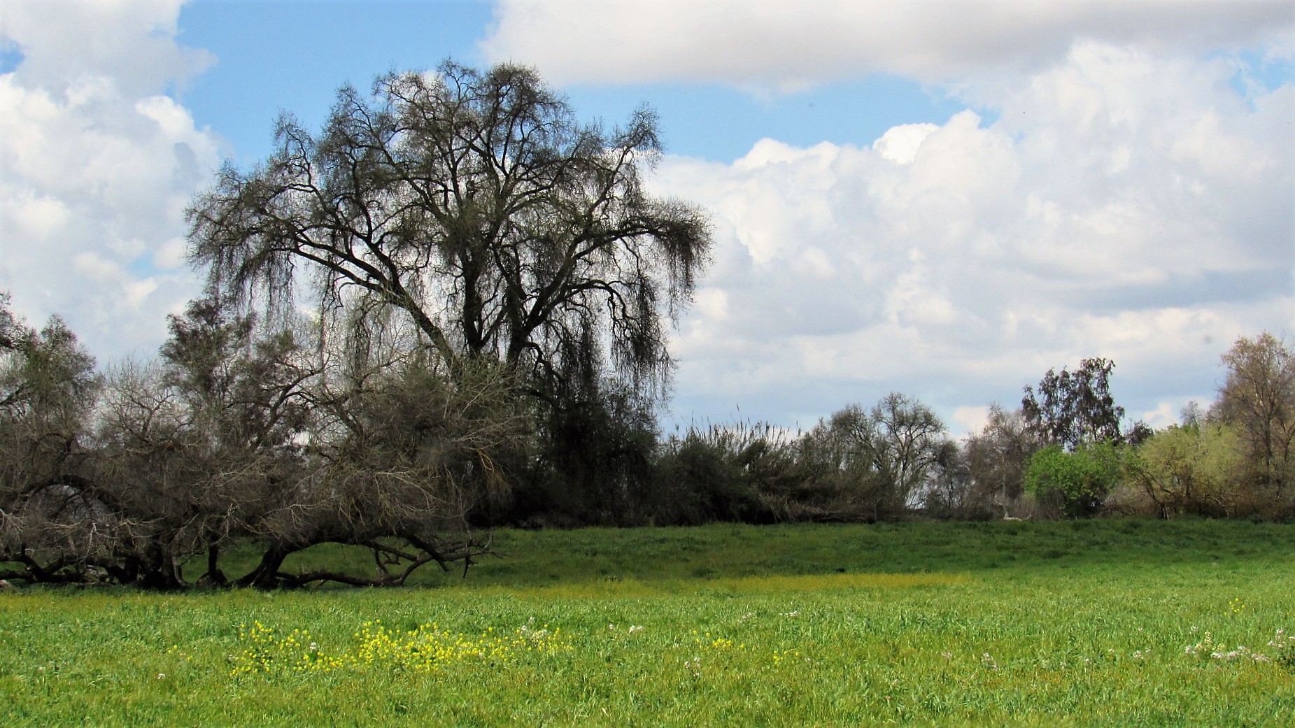

Quotes & More Photos:

“Mr. Oak” and a favorite Valley Oak

“We are essentially a people to whom land comes first. We are its children; we have emotional ties to it that we can never forget, even way down into generations that no longer live in the old way. It is a basic part of our identity – it makes us feel who we are, and without it, we have been cut off and bewildered.” –Alfred Ketzler

“Where once there had been riparian woodlands ten miles wide, now they do not exceed a few hundred feet and are confined to preserves. Oaks once covered a million acres, but only 1 percent of that acreage is now considered pristine oak woodlands. The king of trees has been reduced to a few solitary mendicants.” — Philip L. Fradkin

Demonstration of packing for backcountry travels.

California Nature Conservancy was a vital partner in the acquisition of Kaweah Oaks Preserve

California Sycamore in the KOP meadow

Bird watching with Rob Hansen after the dedication

Myrtle Davis Franklin with Don Hillman during the KOP dedication May 15, 1983

Nature walk for visitors of all ages

Alan George speaking at KOP dedication 05/15/1983


                                                                                                                                                  ALAN GEORGE

                                                                                                                         10/06/1924 – 04/14/2019

                                                                                                                    A True Tulare County Treasure